Frances Perkins Building, Washington D.C.
Map

Map

Facts and practical information
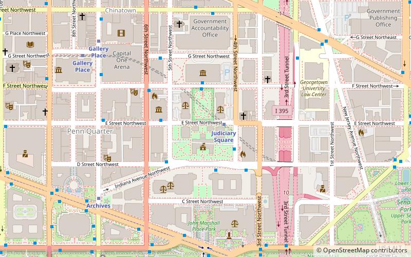
The Frances Perkins Building is the Washington, D.C. headquarters of the United States Department of Labor. It is located at 200 Constitution Avenue NW and sits above Interstate 395. The structure is named after Frances Perkins, the U.S. Secretary of Labor from 1933–1945 and the first female cabinet secretary in U.S. history. ()
Completed: 1975 (50 years ago)Architectural style: ModernismCoordinates: 38°53'32"N, 77°0'53"W
Address
Northwest Washington (Downtown-Penn Quarter-Chinatown)Washington D.C.
ContactAdd
Social media
Add
Day trips
Frances Perkins Building – popular in the area (distance from the attraction)
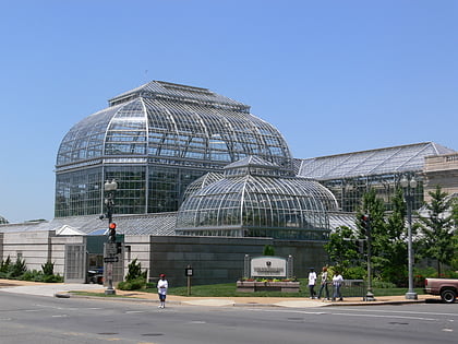
Nearby attractions include: National Gallery of Art, Newseum, United States Botanic Garden, Statue of Freedom.
Frequently Asked Questions (FAQ)
Which popular attractions are close to Frances Perkins Building?
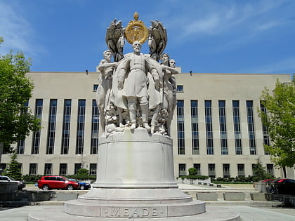
Nearby attractions include Wirtz Labor Library, Washington D.C. (2 min walk), George Gordon Meade Memorial, Washington D.C. (3 min walk), John Marshall Park, Washington D.C. (4 min walk), Vincent R. Sombrotto Park, Washington D.C. (5 min walk).
How to get to Frances Perkins Building by public transport?
The nearest stations to Frances Perkins Building:
Metro
Train
Bus
Tram
Metro
- Judiciary Square • Lines: Rd (8 min walk)
- Archives • Lines: Gr, Yl (11 min walk)
Train
- U.S. Capitol (9 min walk)
- Russell (10 min walk)
Bus
- FlixBus Washington Union Station • Lines: 2601, 2602, 2668, N2610 (15 min walk)
- Washington Deluxe Bus (16 min walk)
Tram
- Union Station • Lines: H Street/Benning Road Streetcar (20 min walk)
- H Street & 8th Street Northeast • Lines: H Street/Benning Road Streetcar (31 min walk)


