Constitution Avenue, Washington D.C.
Facts and practical information
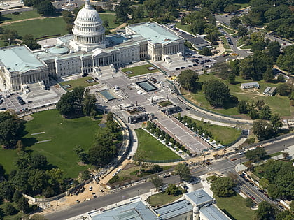
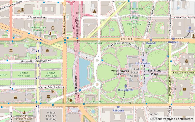
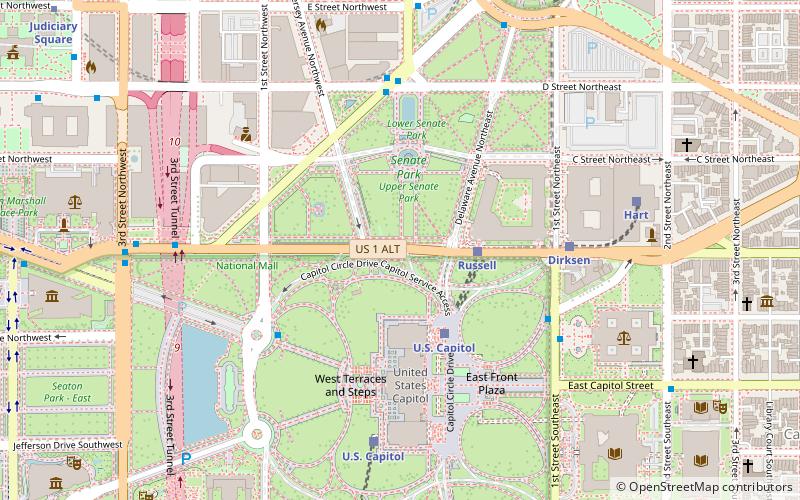
Constitution Avenue is a major east–west street in the northwest and northeast quadrants of the city of Washington, D.C., in the United States. It was originally known as B Street, and its western section was greatly lengthened and widened between 1925 and 1933. It received its current name on February 26, 1931, though it was almost named Jefferson Avenue in honor of Thomas Jefferson. Constitution Avenue's western half defines the northern border of the National Mall and extends from the United States Capitol to the Theodore Roosevelt Bridge. Its eastern half runs through the neighborhoods of Capitol Hill and Kingman Park before it terminates at Robert F. Kennedy Memorial Stadium. Many federal departmental headquarters, memorials, and museums line Constitution Avenue's western segment. ()
Northwest Washington (Washington Mall)Washington D.C.
Constitution Avenue – popular in the area (distance from the attraction)
Nearby attractions include: United States Capitol, Statue of Freedom, Union Square, United States Capitol Visitor Center.
Frequently Asked Questions (FAQ)
Which popular attractions are close to Constitution Avenue?
How to get to Constitution Avenue by public transport?
Train
- Russell (3 min walk)
- U.S. Capitol (5 min walk)
Bus
- FlixBus Washington Union Station • Lines: 2601, 2602, 2668, N2610 (10 min walk)
- Washington Deluxe Bus (12 min walk)
Metro
- Union Station • Lines: Rd (11 min walk)
- Judiciary Square • Lines: Rd (13 min walk)
Tram
- Union Station • Lines: H Street/Benning Road Streetcar (16 min walk)
- H Street & 8th Street Northeast • Lines: H Street/Benning Road Streetcar (25 min walk)


