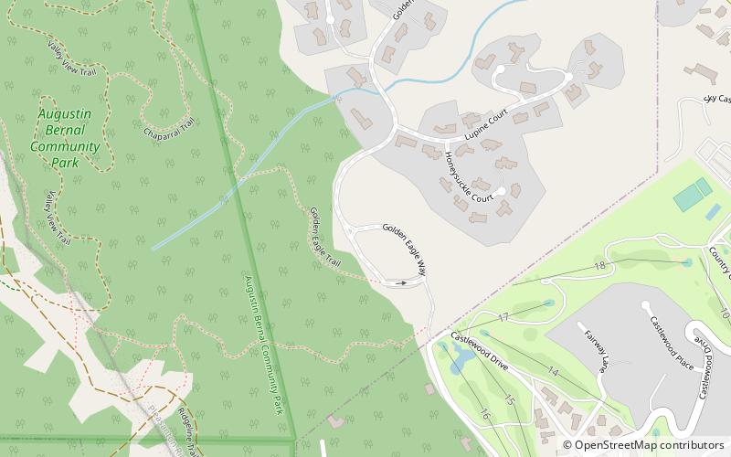
Augustin Bernal Park, Pleasanton

Gallery (1)
Map
Map
Facts and practical information
Augustin Bernal Community Park is a 237-acre park in the hills southwest of Pleasanton, California. ()
Created: 1971Elevation: 755 ft a.s.l.Coordinates: 37°38'11"N, 121°54'14"W
Day trips