Pleasanton Ridge Regional Park, Pleasanton

Gallery (3)
Map
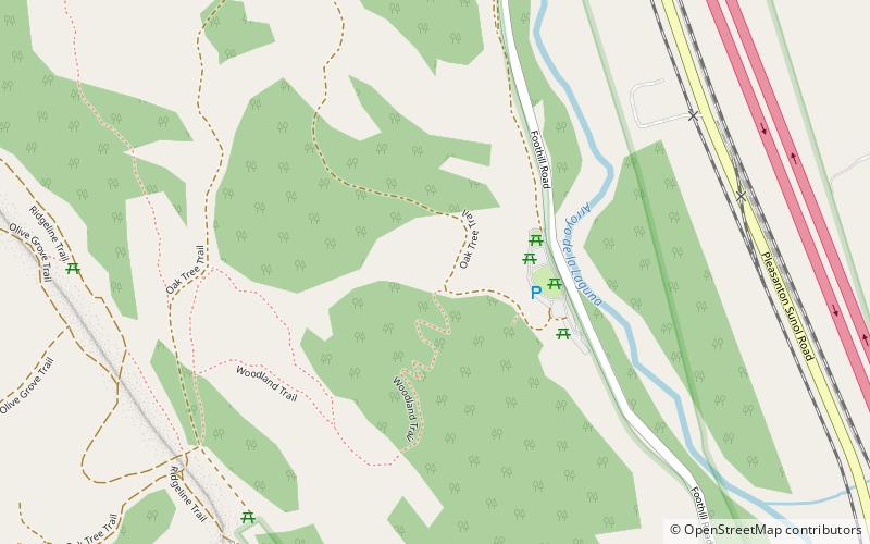

Map
Gallery
Facts and practical information
Pleasanton Ridge Regional Park, located west of the I-680 freeway and the City of Pleasanton, California, became a reality in 1988, when the East Bay Regional Park District bought 1,700 acres (6.9 km2) to start what would become its second-largest park. In 1980, a real estate developer had proposed building a golf course and a number of new homes atop Pleasanton Ridge. A large number of area residents opposed the proposal and defeated it in a referendum in 1983. ()
Elevation: 440 ft a.s.l.Coordinates: 37°36'55"N, 121°53'4"W
Day trips