Hermit Trail, Grand Canyon National Park


Facts and practical information
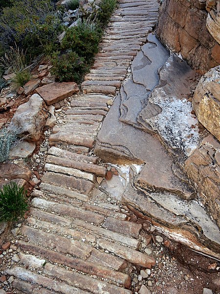
The Hermit Trail, carved into the rugged landscape of the Grand Canyon National Park, offers adventurers a less crowded path to explore the depths of the iconic canyon. This historic trail, steeped in natural beauty and solitude, was constructed in the early 20th century and has since served as a challenging yet rewarding route for experienced hikers.
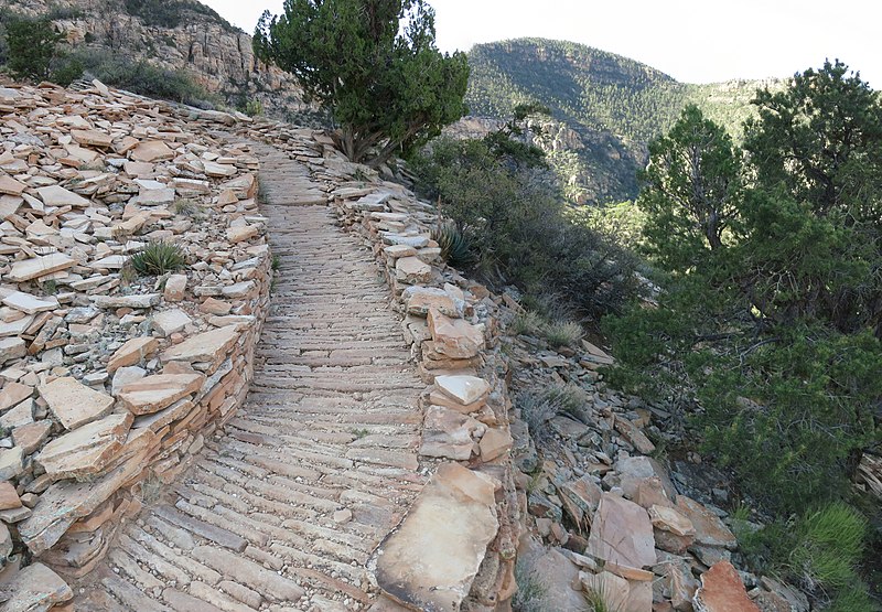
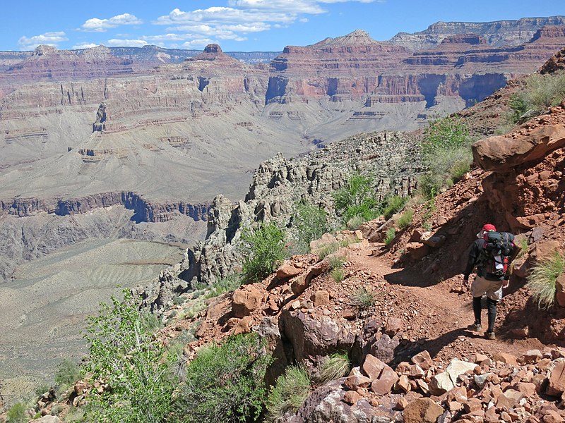
Descending from the Hermit's Rest point, located at the end of the West Rim Drive, the Hermit Trail is approximately 7.8 miles long and drops nearly 4,000 feet to the Colorado River. Its initial section, characterized by steep switchbacks and a well-defined path, gives way to a more rugged and remote experience as you venture further.
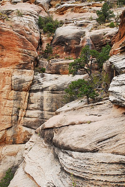
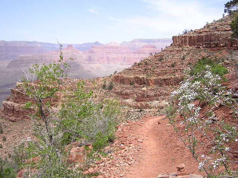
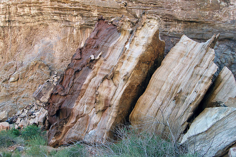
Unlike the more frequented Bright Angel and South Kaibab trails, Hermit Trail offers a unique opportunity to experience the Grand Canyon's vastness with a sense of intimacy. The trail passes through layers of geological history, revealing the canyon's ancient strata in a vivid display. Hikers can expect to see a variety of rock formations, wildlife, and possibly even fossils embedded in the canyon walls.
Essential stops along the trail include Santa Maria Spring, providing a restful spot with shade and water, and the Hermit Creek Campground, where backpackers can spend the night with a permit. The trail ultimately leads to the Colorado River, where the Hermit Rapids roar, showcasing the river's raw power.
Due to its difficulty and lack of amenities, the Hermit Trail is recommended for those with substantial hiking experience and a good physical condition. The National Park Service advises visitors to be well-prepared with plenty of water, food, and appropriate gear for the unpredictable weather and challenging terrain.
- Bus
 Bus
Bus
- Calculate routeHermits Rest 5 min walk
- Calculate routePima Point 26 min walk


Frequently Asked Questions (FAQ)
How to get to Hermit Trail by public transport?
Bus
- Hermits Rest • Lines: Hermits Rest Route (East-bound), Hermits Rest Route (West-bound) (5 min walk)
- Pima Point • Lines: Hermits Rest Route (East-bound), Hermits Rest Route (West-bound) (26 min walk)