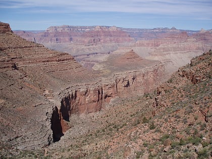
Boucher Trail, Grand Canyon National Park
#11 among attractions in Grand Canyon National Park
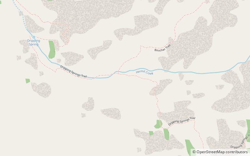
Facts and practical information
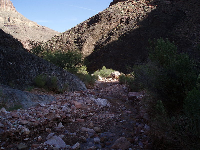
The Boucher Trail is a hiking trail of the South Rim in Grand Canyon National Park, located in the U.S. state of Arizona. ()
Trailhead begins 8 miles from Boucher RapidsGrand Canyon National Park 86023 United States
Boucher Trail – popular in the area (distance from the attraction)
Nearby attractions include: Bright Angel Trail, Hermit Trail, Kolb Studio, Hermit Canyon.
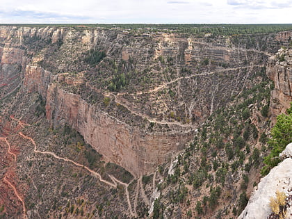 Hiking, Hiking trail, Outdoor activities
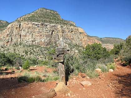
Bright Angel Trail, Grand Canyon National Park
131 min walk • The Bright Angel Trail is a renowned pathway that descends into the heart of the Grand Canyon, offering hikers an up-close experience of one of the natural wonders of the world. Located within the Grand Canyon National Park in Arizona, United States, this historic...
 Hiking, Hiking trail, Park
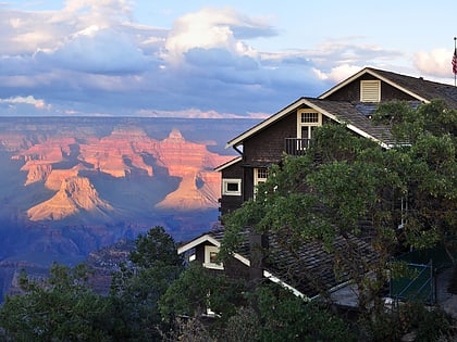
Hermit Trail, Grand Canyon National Park
35 min walk • The Hermit Trail, carved into the rugged landscape of the Grand Canyon National Park, offers adventurers a less crowded path to explore the depths of the iconic canyon. This historic trail, steeped in natural beauty and solitude, was constructed in the early 20th...
 Specialty museum, Museum, History museum
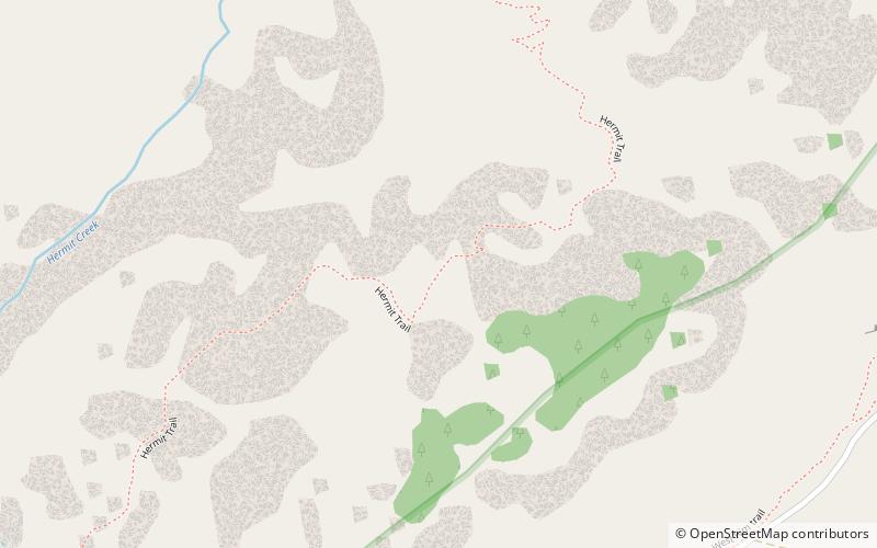
Kolb Studio, Grand Canyon National Park
133 min walk • The Kolb Studio is a historic structure situated on the edge of the South Rim of the Grand Canyon in Grand Canyon Village within Grand Canyon National Park in Arizona. It was operated from 1904 until 1976 as the photographic studio of brothers Ellsworth and Emery Kolb.
 Canyon
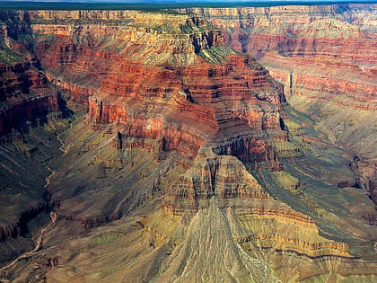
Hermit Canyon, Grand Canyon National Park
35 min walk • Hermit Canyon is a north-trending canyon in western Grand Canyon, about 6.0 miles in length, below the South Rim. It is named for the hermit who built Hermit Camp, at the Colorado River, Louis D. Boucher.
 Canyon
Topaz Canyon, Grand Canyon National Park
89 min walk • Topaz Canyon is a linear, narrow canyon in western Grand Canyon, below the South Rim. It lies in a region of four canyons, and a fifth smaller canyon, all trending mostly northeasterly towards the west-flowing Colorado River, in western Grand Canyon National Park.
 Cliff
CliffCocopa Point, Grand Canyon National Park
52 min walk • Cocopa Point is a 6,627 foot-cliff-elevation Point located in the central, Grand Canyon, Coconino County of northern Arizona, United States.
 Butte
ButteWhites Butte, Grand Canyon National Park
67 min walk • Whites Butte is a 4,860-foot prominence adjacent the course of the Colorado River near the beginning of the Western Grand Canyon. The butte lies at the terminus of Travertine Canyon, the adjacent canyon west of Hermit Canyon.
 Mountain
Vesta Temple, Grand Canyon National Park
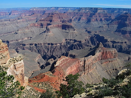
76 min walk • Vesta Temple is a 6,299-foot-elevation summit located in the Grand Canyon, in Coconino County of northern Arizona, US. It is situated eight miles west-northwest of Grand Canyon Village, and immediately northeast of Mimbreno Point.
 Butte
ButteDana Butte, Grand Canyon National Park
134 min walk • Dana Butte is a 4,964-foot prominence, adjacent the course of the Colorado River, in the Grand Canyon and sits on the south side of Granite Gorge.
 Bars and clubs
Bright Angel Lodge, Grand Canyon National Park
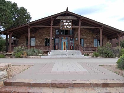
137 min walk • Bright Angel Lodge is a hotel complex at the South Rim of the Grand Canyon in Grand Canyon National Park, Arizona. Designed by architect Mary Jane Colter, the lodge is a complex of cabins around a central lodge building, directly on the edge of the canyon.
 Mountain
Tower of Set, Grand Canyon National Park
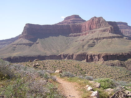
135 min walk • Tower of Set is a 6,012-foot-elevation summit located in the Grand Canyon, in Coconino County of Arizona, US. This butte is situated four miles north of Hopi Point overlook on the canyon's South Rim, two miles southeast of Tower of Ra, and three miles south-southwest of Shiva Temple, where it towers 3,600 feet above the Colorado River.
