South Bay Shopping Center, Boston
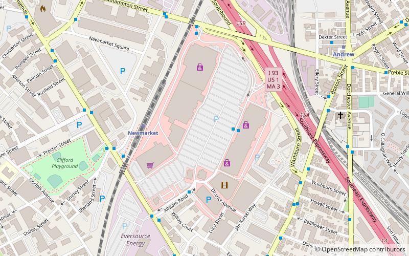
Map
Map

Facts and practical information
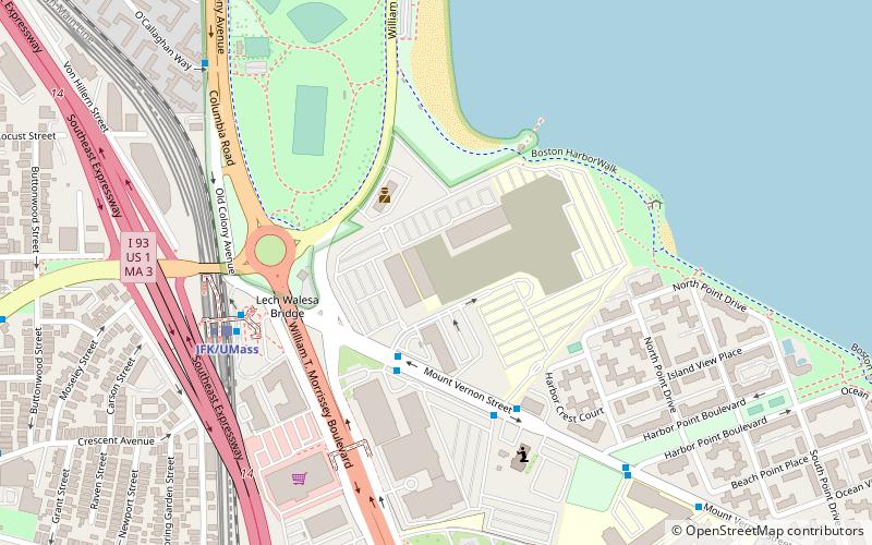
South Bay is a shopping center in the Dorchester neighborhood of Boston, Massachusetts. It is located off I-93, US 1, Route 3, near the transition from the Southeast Expressway to the Central Artery traveling through Downtown Boston. ()
Coordinates: 42°19'39"N, 71°3'47"W
Address
8 Allstate RdDorchester (Columbia Point)Boston 02118
Contact
(617) 442-2422
Social media
Add
Day trips
South Bay Shopping Center – popular in the area (distance from the attraction)
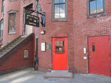
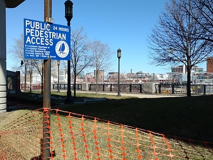
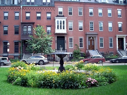
Nearby attractions include: Wally's Cafe, Matthews Arena, South Bay Harbor Trail, Edward Everett Square.
Frequently Asked Questions (FAQ)
Which popular attractions are close to South Bay Shopping Center?
Nearby attractions include South Boston Boat Clubs Historic District, Boston (7 min walk), Our Lady of Czestochowa Parish, Boston (8 min walk), William Clapp House, Boston (9 min walk), Captain Lemuel Clap House, Boston (9 min walk).
How to get to South Bay Shopping Center by public transport?
The nearest stations to South Bay Shopping Center:
Train
Metro
Bus
Light rail
Train
- Newmarket (4 min walk)
- Uphams Corner (17 min walk)
Metro
- Andrew • Lines: Red (9 min walk)
- JFK/UMass • Lines: Red (19 min walk)
Bus
- Dorchester Avenue @ Edison Green (17 min walk)
- Massachusetts Ave @ Albany St • Lines: 1 (18 min walk)
Light rail
- Symphony • Lines: E (40 min walk)

 MBTA Subway