Big Four Mountain, Mount Baker–Snoqualmie National Forest


Facts and practical information
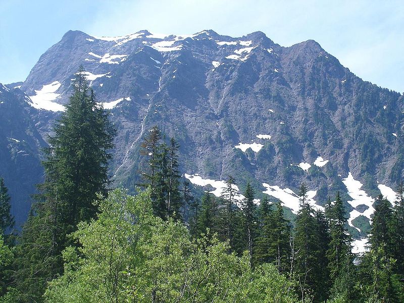
Big Four is a 6,160+ feet mountain summit in the Cascade Range, located about 20 miles east of Granite Falls, Washington. It is situated 4 miles west of Barlow Pass along the Mountain Loop Highway, near the Monte Cristo area, on land administered by the Mount Baker-Snoqualmie National Forest. Debris piles on the mountain's northern flank form as a result of avalanche activity. These fields of disturbed snow are able to remain year round in the shadow of the mountain. During the summer months snow-melt streams flow beneath the debris piles and cause caves to form in the ice. The caves vary in size from season to season and are unpredictably dangerous. The mountain is open to the public and a large snowfield can be reached by a short trail, but the snowfield itself is off-limits due to cave-ins and slides which have killed hikers in incidents in 1998, 2010, and 2015. ()
Mount Baker–Snoqualmie National Forest
Big Four Mountain – popular in the area (distance from the attraction)
Nearby attractions include: Big Four Ice Caves, Big Four Ski Area, Vesper Peak, Mount Dickerman.


