Big Four Ski Area, Mount Baker–Snoqualmie National Forest

Map
Facts and practical information
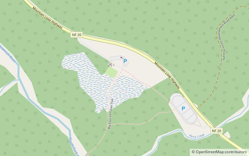
Big Four Ski Area was an alpine ski area that operated in Washington state on the north side of Big Four Mountain approximately 26 miles east of Granite Falls, Washington. Was opened during the early 19th century, and was part of the Big Four Mountain Inn, first serviced by railroad. Located in the Stillaguamish River Valley, below the ice cave basin. Closed before 1949, when the Inn was destroyed by fire. Little else is known about the ski area. ()
Coordinates: 48°4'3"N, 121°30'50"W
Address
Mount Baker–Snoqualmie National Forest
ContactAdd
Social media
Add
Day trips
Big Four Ski Area – popular in the area (distance from the attraction)
Nearby attractions include: Big Four Ice Caves, Vesper Peak, Big Four Mountain, Mount Dickerman.


