The Summit at Snoqualmie, Mount Baker–Snoqualmie National Forest

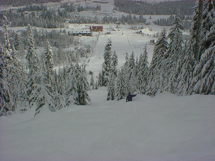
Gallery (2)
Map
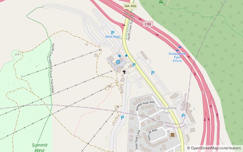
Map
Gallery
Facts and practical information
The Summit at Snoqualmie, is a winter resort in the northwest United States, located on Snoqualmie Pass, Washington. It provides alpine skiing and snowboarding, Nordic skiing, and winter tubing. Owned and managed by Boyne Resorts, it is 52 miles east of downtown Seattle on Interstate 90. ()
Longest run: 6336 ftBase elevation: 2610 ftTop elevation: 5420 ftCoordinates: 47°25'26"N, 121°24'58"W
Getting there by public transportation
Public transportation stops near this location
- Bus
 Bus
Bus
- Calculate routeWest Summit Shuttle Stop 2 min walk
- Calculate routeFlixBus Snoqualmie Pass 2 min walk
- Calculate routeCentral Shuttle Stop 25 min walk
Day trips


Frequently Asked Questions (FAQ)
How to get to The Summit at Snoqualmie by public transport?
The nearest stations to The Summit at Snoqualmie:
Bus
Bus
- West Summit Shuttle Stop • Lines: Inter-Summit Shuttle (2 min walk)
- FlixBus Snoqualmie Pass • Lines: 2121 (2 min walk)