Alvarado Park, Richmond
Map
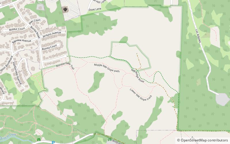
Map

Facts and practical information
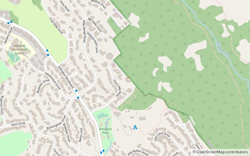
Alvarado Park is a subsection of Wildcat Canyon Regional Park in Richmond, California and is a National Historic Place. It is located at the mouth of Wildcat Canyon in the Alvarado Park section. Between 1909 and 1923, Alvarado Park was a private park that was owned and operated by local residents. In 1923, it was donated to the city of Richmond. Later it was admitted into the East Bay Regional Park District. ()
Created: 1909Elevation: 561 ft a.s.l.Coordinates: 37°57'22"N, 122°18'47"W
Address
Richmond
ContactAdd
Social media
Add
Day trips
Alvarado Park – popular in the area (distance from the attraction)
Nearby attractions include: Prologis Hilltop Center, Benoit-Casper Brewing, Wildcat Canyon Regional Park, San Pablo Lytton Casino.
Frequently Asked Questions (FAQ)
How to get to Alvarado Park by public transport?
The nearest stations to Alvarado Park:
Bus
Bus
- San Pablo Dam Road & Hillcrest Road • Lines: 70, 74 (16 min walk)
- 3905 San Pablo Dam Road • Lines: 70, 74 (17 min walk)

