San Francisco cable car system, San Francisco


Facts and practical information
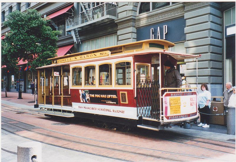
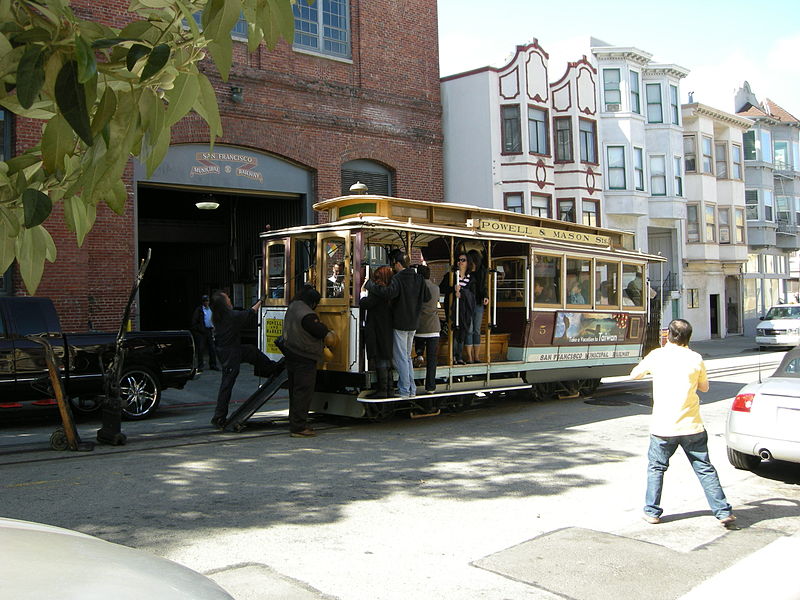
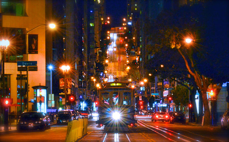
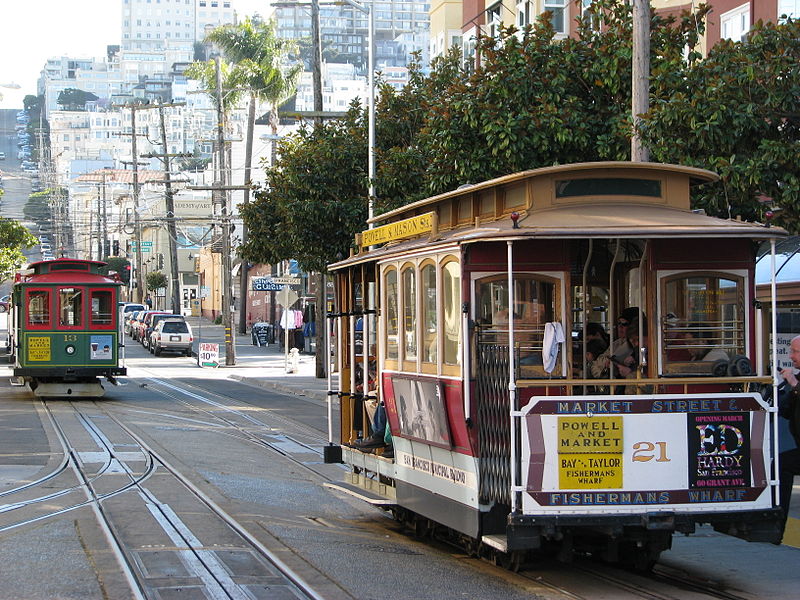
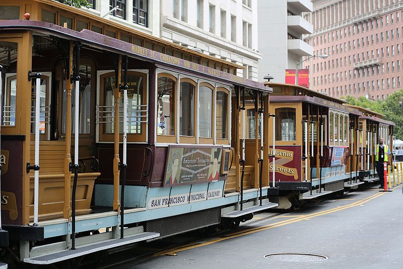
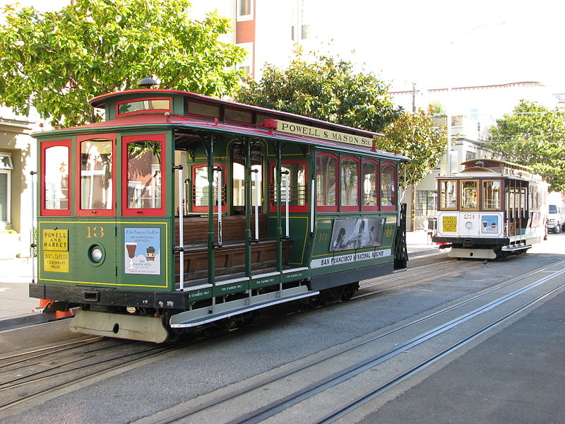
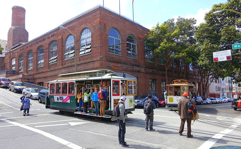
The San Francisco cable car system is the world's last manually operated cable car system and an icon of the city of San Francisco. The system forms part of the intermodal urban transport network operated by the San Francisco Municipal Railway, which also includes the separate E Embarcadero and F Market & Wharves heritage streetcar lines, and the Muni Metro modern light rail system. Of the 23 cable car lines established between 1873 and 1890, only three remain : two routes from downtown near Union Square to Fisherman's Wharf, and a third route along California Street. While the cable cars are used to a certain extent by commuters, the vast majority of the millions of passengers who use the system every year are tourists, and as a result, the wait to get on can often reach two hours or more. They are among the most significant tourist attractions in the city, along with Alcatraz Island, the Golden Gate Bridge, and Fisherman's Wharf. San Francisco's cable cars are listed on the National Register of Historic Places and are designated as a National Historic Landmark. ()
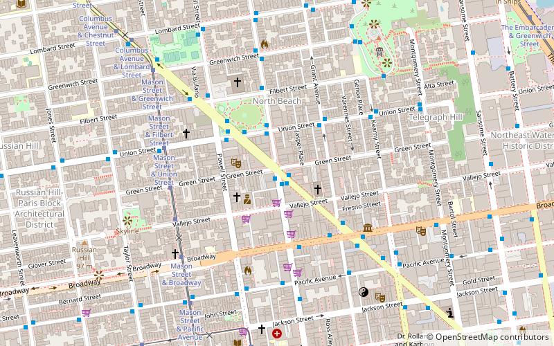
1101 Powell StNortheast San Francisco (Chinatown)San Francisco 94108
- Metro
- Bus
- Trolleybus
- Tram
- Light rail
- Ferry
 Metro
Metro
- Calculate routeStockton Street & Washington Street 2 min walk
- Calculate routeClay Street & Stockton Street 3 min walk
- Calculate routeStockton Street & Washington Street 2 min walk
- Calculate routePacific Avenue & Stockton Street 3 min walk
- Calculate routePowell Street & Jackson Street 3 min walk
- Calculate routeWashington Street & Powell Street 4 min walk
- Calculate routePowell Street & Clay Street 4 min walk
- Calculate routeWashington Street & Mason Street 5 min walk
- Calculate routeMontgomery Street 15 min walk
- Calculate routeEmbarcadero 17 min walk
- Calculate routePowell Street 20 min walk
- Calculate routeMontgomery Street 15 min walk
- Calculate routeEmbarcadero 17 min walk
- Calculate routePowell Street 20 min walk
- Calculate routeFolsom 28 min walk
- Calculate routeFerry Building Gate B 21 min walk
- Calculate routePier 41 Gate 1 25 min walk
 Muni Metro
San Francisco cable car system – popular in the area (distance from the attraction)
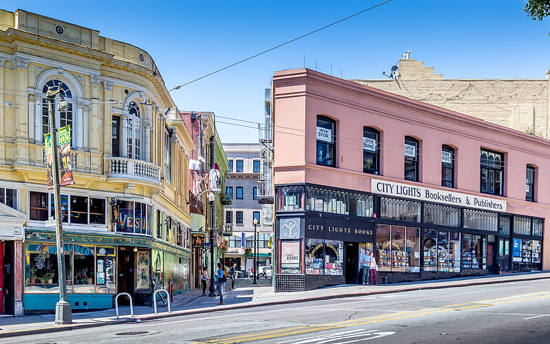
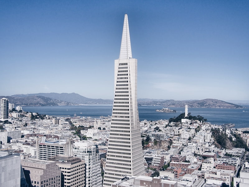
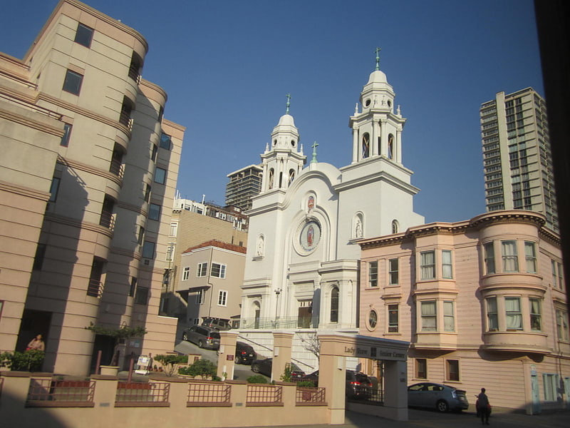
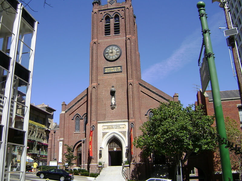
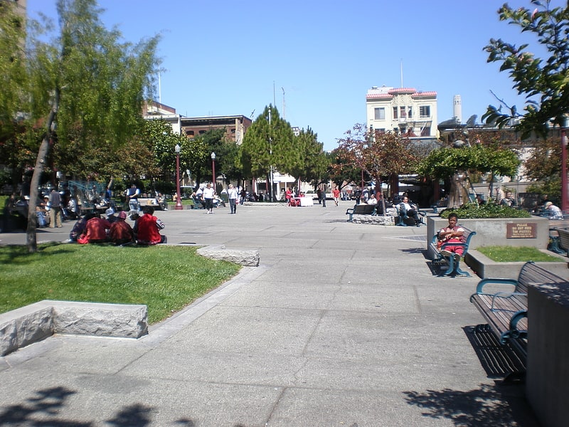
Nearby attractions include: City Lights Bookstore, Transamerica Pyramid, Cable Car Museum, Nuestra Senora De Guadalupe Church.

Frequently Asked Questions (FAQ)
Which popular attractions are close to San Francisco cable car system?
How to get to San Francisco cable car system by public transport?
Trolleybus
- Stockton Street & Washington Street • Lines: 30, 45 (2 min walk)
- Clay Street & Stockton Street • Lines: 1 (3 min walk)
Bus
- Stockton Street & Washington Street • Lines: 30, 8, 91 (2 min walk)
- Pacific Avenue & Stockton Street • Lines: 12 (3 min walk)
Tram
- Powell Street & Jackson Street (3 min walk)
- Washington Street & Powell Street (4 min walk)
Metro
- Montgomery Street • Lines: Blue, Green, Red, Yellow (15 min walk)
- Embarcadero • Lines: Blue, Green, Red, Yellow (17 min walk)
Light rail
- Montgomery Street • Lines: K, N, S, T (15 min walk)
- Embarcadero • Lines: K, N, S, T (17 min walk)
Ferry
- Ferry Building Gate B • Lines: San Francisco Bay Ferry (21 min walk)
- Pier 41 Gate 1 • Lines: Blue & Gold Fleet (25 min walk)