Steck-Salathé Route, Yosemite National Park
Map
Facts and practical information
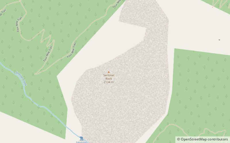
The Steck-Salathé Route is a technical climbing route up Sentinel Rock. The route was first climbed, in extremely hot weather with minimal water, from June 30 - July 4, 1950, by Allen Steck and John Salathé, up the 1,600-foot north face of Sentinel Rock in Yosemite Valley. They climbed mostly free using occasional direct aid pitons on some pitches, and a blank wall halfway up required a 30-foot bolt ladder. It was the longest and most difficult route in Yosemite in 1950. ()
Coordinates: 37°43'44"N, 119°35'38"W
Address
Yosemite National Park
ContactAdd
Social media
Add
Getting there by public transportation
Public transportation stops near this location
- Bus
 Bus
Bus
- Calculate routeEl Cap Shuttle Stop #E6 14 min walk
- Calculate routeValley Shuttle Stop #7 25 min walk
Day trips


Frequently Asked Questions (FAQ)
Which popular attractions are close to Steck-Salathé Route?
Nearby attractions include Sentinel Rock, Yosemite National Park (1 min walk), Sentinel Fall, Yosemite West (8 min walk), Yosemite Valley Bridges, Yosemite National Park (11 min walk), Four Mile Trail, Yosemite National Park (12 min walk).
How to get to Steck-Salathé Route by public transport?
The nearest stations to Steck-Salathé Route:
Bus
Bus
- El Cap Shuttle Stop #E6 • Lines: El Capitan Shuttle (14 min walk)
- Valley Shuttle Stop #7 • Lines: Yosemite Valley Shuttle (25 min walk)