Pleasanton Gateway, Pleasanton

Facts and practical information
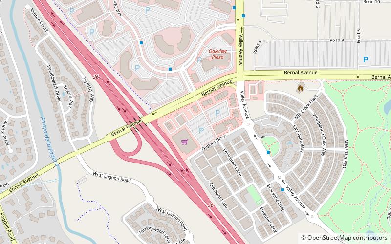
Pleasanton Gateway (address: Bernal Avenue and I-680) is a place located in Pleasanton (California state) and belongs to the category of shopping, shopping centre.
It is situated at an altitude of 325 feet, and its geographical coordinates are 37°39'24"N latitude and 121°53'56"W longitude.
Planning a visit to this place, one can easily and conveniently get there by public transportation. Pleasanton Gateway is a short distance from the following public transport stations: Koll Center Parkway & Koll Center Drive (bus, 4 min walk), Pleasanton (train, 24 min walk).
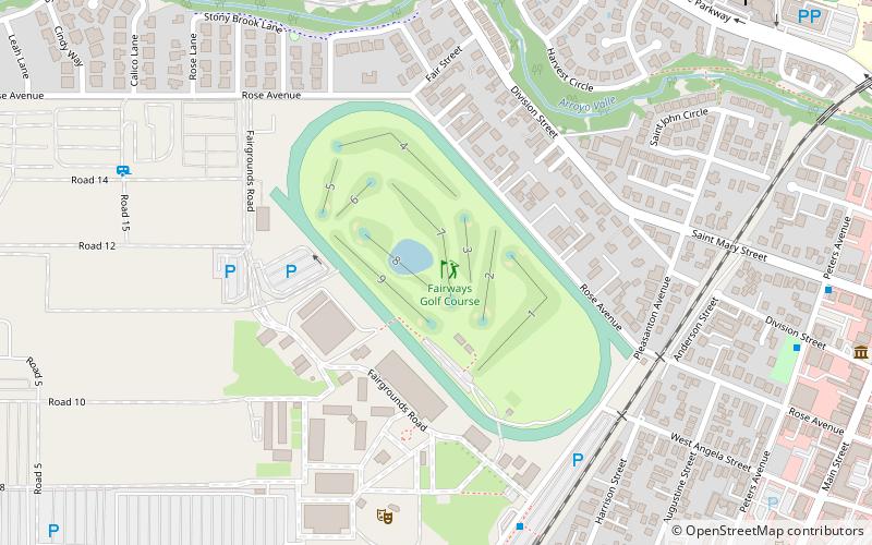
Among other places and attractions worth visiting in the area are: Alameda County Fairgrounds (fair, 17 min walk), Bernal Subbasin (neighbourhood, 17 min walk), Alviso Adobe Community Park (park, 20 min walk).
- Bus
- Train
 Bus
Bus
- Calculate routeKoll Center Parkway & Koll Center Drive 4 min walk
- Calculate routeValley Avenue & Wild Rose Place 6 min walk
- Calculate route6700 Koll Center Parkway 6 min walk
- Calculate route7052 Valley Avenue 8 min walk
- Calculate routePleasanton 24 min walk


Frequently Asked Questions (FAQ)
Which popular attractions are close to Pleasanton Gateway?
How to get to Pleasanton Gateway by public transport?
Bus
- Koll Center Parkway & Koll Center Drive • Lines: 54 (4 min walk)
- Valley Avenue & Wild Rose Place • Lines: 8 (6 min walk)
Train
- Pleasanton (24 min walk)