Bernal Subbasin, Pleasanton
Map
Facts and practical information
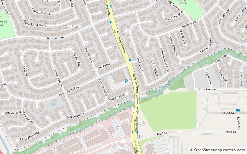
The Bernal Subbasin is an aquifer located in the southwestern corner of Livermore Valley Groundwater Basin, Alameda County, California, United States. All of the groundwater in Livermore Valley moves toward the Bernal Subbasin, which is bounded on the east by Pleasanton Fault, on the north by the Park Fault, and on the west by the Calaveras Fault. All the streams draining the Livermore Valley merge above the Bernal formation and exit this subbasin and Livermore Amador Valley via the Arroyo de la Laguna. ()
Coordinates: 37°39'59"N, 121°53'53"W
Address
Del PradoPleasanton
ContactAdd
Social media
Add
Getting there by public transportation
Public transportation stops near this location
- Bus
- Train
 Bus
Bus
- Calculate route6269 Valley Avenue 2 min walk
- Calculate route6917 Valley Avenue 6 min walk
- Calculate routeValley Avenue & Via de Los Cerros 9 min walk
- Calculate routePleasanton 27 min walk
Day trips


Frequently Asked Questions (FAQ)
Which popular attractions are close to Bernal Subbasin?
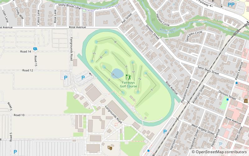
Nearby attractions include Alameda County Fairgrounds, Pleasanton (16 min walk), Alviso Adobe Community Park, Pleasanton (22 min walk).
How to get to Bernal Subbasin by public transport?
The nearest stations to Bernal Subbasin:
Bus
Train
Bus
- 6269 Valley Avenue • Lines: 54, 8 (2 min walk)
- 6917 Valley Avenue • Lines: 54, 8 (6 min walk)
Train
- Pleasanton (27 min walk)