Kensington, Philadelphia

Gallery (3)
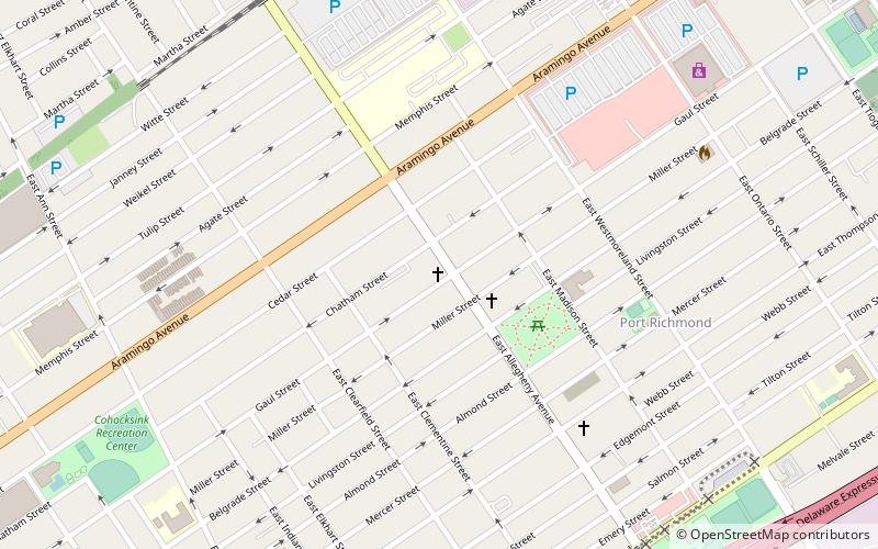
Map


Map
Gallery
Facts and practical information
Kensington is a neighborhood in Philadelphia, Pennsylvania, United States, which straddles Lower Northeast and North Philadelphia. It is part of the River Wards section of Philadelphia. Modern Kensington is larger than the former Kensington District, and unlike the latter, the former does not include Fishtown. ()
Coordinates: 39°58'52"N, 75°7'19"W
Address
River Wards (Fishtown)Philadelphia
ContactAdd
Social media
Add
Getting there by public transportation
Public transportation stops near this location
- Metro
- Tram
 Metro
Metro
- Calculate routeYork-Dauphin 16 min walk
- Calculate routeHuntingdon 16 min walk
- Calculate routeBerks 17 min walk
- Calculate routeSomerset 19 min walk
- Calculate routeFrankford Avenue & Girard Avenue 28 min walk
- Calculate routeGirard Avenue & 2nd Street 32 min walk
Maps SEPTA Regional Rail
SEPTA Regional RailDay trips


Frequently Asked Questions (FAQ)
Which popular attractions are close to Kensington?
Nearby attractions include Olde Richmond, Philadelphia (1 min walk), 2424 Studios, Philadelphia (8 min walk), Beatty's Mills Factory Building, Philadelphia (11 min walk), St. Laurentius Parish, Philadelphia (13 min walk).
How to get to Kensington by public transport?
The nearest stations to Kensington:
Metro
Tram
Metro
- York-Dauphin • Lines: Mfl (16 min walk)
- Huntingdon • Lines: Mfl (16 min walk)
Tram
- Frankford Avenue & Girard Avenue • Lines: 15 (28 min walk)
- Girard Avenue & 2nd Street • Lines: 15 (32 min walk)