Alaskan Way, Seattle

Facts and practical information
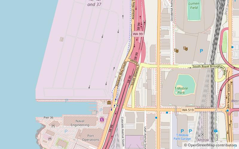
Alaskan Way, originally Railroad Avenue, is a street in Seattle, Washington, that runs along the Elliott Bay waterfront from just north of S. Holgate Street in the Industrial District—south of which it becomes East Marginal Way S.— to Broad Street in Belltown, north of which is Myrtle Edwards Park and the Olympic Sculpture Park. The right-of-way continues northwest through the park, just west of the BNSF Railway mainline, and the roadway picks up again for a few blocks at Smith Cove. It follows a route known in the late 19th century as the "Ram's Horn" because of its shape. The street gave its name to the Alaskan Way Viaduct, which until 2019 carried Washington State Route 99 through Downtown Seattle. ()
Alaskan Way – popular in the area (distance from the attraction)
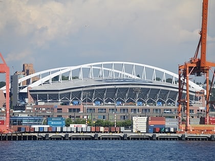
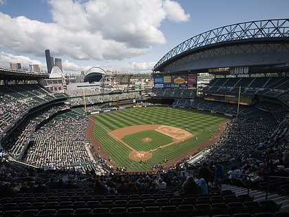
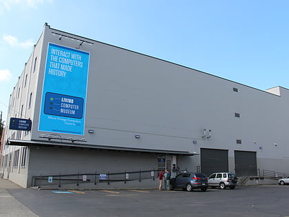
Nearby attractions include: Lumen Field, Safeco Field, Living Computers: Museum + Labs, Collins Pub.
Frequently Asked Questions (FAQ)
Which popular attractions are close to Alaskan Way?
How to get to Alaskan Way by public transport?
Bus
- 1st Ave S & S Atlantic St • Lines: 21 (5 min walk)
- Edgar Martinez Dr S & Occidental Ave S • Lines: 21, 37 (6 min walk)
Light rail
- Stadium • Lines: 1 (12 min walk)
- International District/Chinatown • Lines: 1 (16 min walk)
Train
- Seattle King Street (14 min walk)
Tram
- Occidental Mall • Lines: First Hill Streetcar (14 min walk)
- 5th & Jackson • Lines: First Hill Streetcar (18 min walk)
Ferry
- West Seattle, Vashon Island Water Taxi • Lines: 339, West Seattle-Seattle (17 min walk)
- Seattle • Lines: Seattle-Bremerton, Seattle-Winslow (20 min walk)
Trolleybus
- Prefontaine Pl S & Yesler Way • Lines: 1, 13, 49 (19 min walk)
- 3rd Ave & Columbia St • Lines: 1, 13, 3, 4, 49 (22 min walk)

