Cancer Survivors Park, Greenville


Facts and practical information
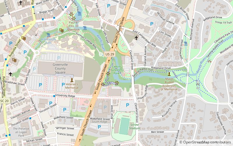
Cancer Survivors Park (address: 24 Cleveland St) is a place located in Greenville (South Carolina state) and belongs to the category of park, relax in park.
It is situated at an altitude of 886 feet, and its geographical coordinates are 34°50'29"N latitude and 82°23'54"W longitude.
Planning a visit to this place, one can easily and conveniently get there by public transportation. Cancer Survivors Park is a short distance from the following public transport stations: University Ridge (bus, 8 min walk), Greenville (train, 38 min walk).
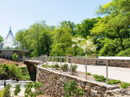
Among other places and attractions worth visiting in the area are: Sirrine Stadium (sport venue, 6 min walk), Liberty Bridge (park, 8 min walk), Falls Park on the Reedy (park, 8 min walk).
Cancer Survivors Park – popular in the area (distance from the attraction)
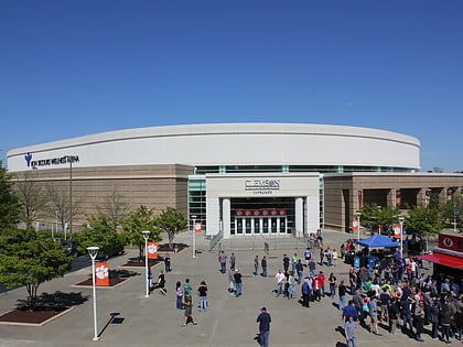
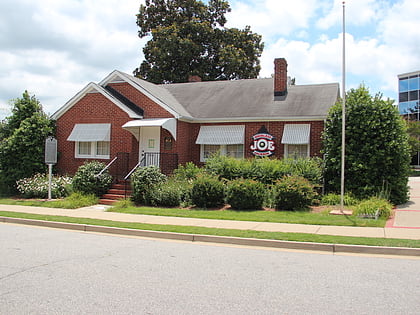
Nearby attractions include: Bon Secours Wellness Arena, Fluor Field at the West End, Reedy River Falls, Cleveland Park.
Frequently Asked Questions (FAQ)
Which popular attractions are close to Cancer Survivors Park?
How to get to Cancer Survivors Park by public transport?
Bus
- University Ridge • Lines: 4D (8 min walk)
- Thruston @ Howe Street • Lines: 4D (11 min walk)
Train
- Greenville (38 min walk)


