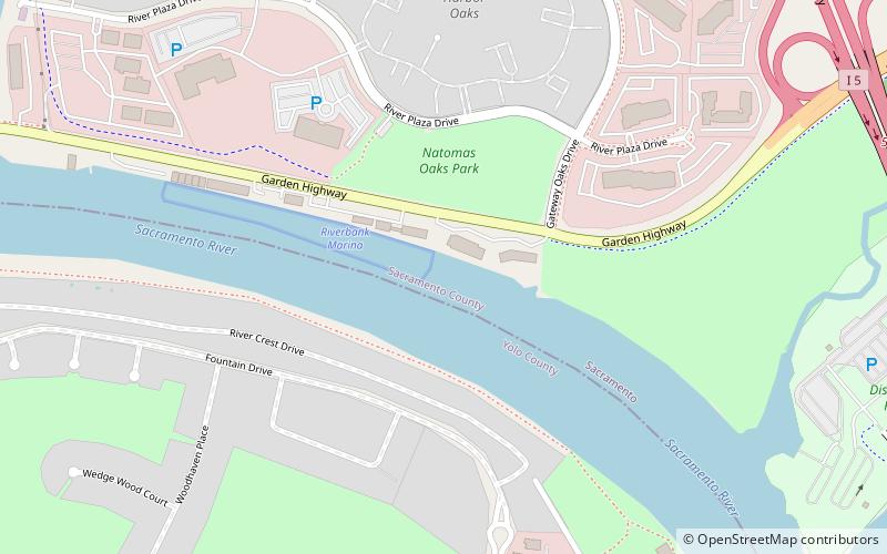
Natomas East Main Drainage Canal, Sacramento
Map
Facts and practical information
The Natomas East Main Drainage Canal, also known as Steelhead Creek, flows into the American River in Sacramento County, California. ()
Coordinates: 38°36'12"N, 121°30'58"W
Address
North SacramentoSacramento
ContactAdd
Social media
Add
Getting there by public transportation
Public transportation stops near this location
- Bus
 Bus
Bus
- Calculate route2379 Gateway Oaks 11 min walk
- Calculate routeSacramento Greyhound Terminal 29 min walk
Day trips


Frequently Asked Questions (FAQ)
Which popular attractions are close to Natomas East Main Drainage Canal?
Nearby attractions include Jibboom Street Bridge, Sacramento (15 min walk), Jedediah Smith Memorial Trail, Sacramento (21 min walk), Broderick, Sacramento (22 min walk).
How to get to Natomas East Main Drainage Canal by public transport?
The nearest stations to Natomas East Main Drainage Canal:
Bus
Bus
- 2379 Gateway Oaks • Lines: 99 (11 min walk)
- Sacramento Greyhound Terminal (29 min walk)