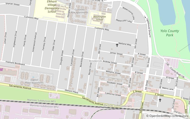
Broderick, Sacramento

Map
Facts and practical information
Broderick is a former town in Yolo County, California, United States, now forming part of the City of West Sacramento. It is located just west of the Sacramento River in the eastern portion of the county. Broderick's ZIP Code is 95605 and is in area codes 916 and 279. It lies at an elevation of 23 feet. ()
Coordinates: 38°35'28"N, 121°31'2"W
Address
West Sacramento (Broderick)Sacramento
ContactAdd
Social media
Add
Day trips
Broderick – popular in the area (distance from the attraction)
Nearby attractions include: Old Sacramento, Crocker Art Museum, Downtown Commons, Jedediah Smith Memorial Trail.
Frequently Asked Questions (FAQ)
Which popular attractions are close to Broderick?
Nearby attractions include I Street Bridge, Sacramento (17 min walk), The Ziggurat, Sacramento (18 min walk), Sutter Health Park, Sacramento (20 min walk), Sacramento History Museum, Sacramento (21 min walk).
How to get to Broderick by public transport?
The nearest stations to Broderick:
Train
Bus
Light rail
Train
- Central Pacific Freight Depot (21 min walk)
- Sacramento Valley Station (27 min walk)
Bus
- Sacramento • Lines: 2062, 2064 (23 min walk)
- Sacramento Valley Station (27 min walk)
Light rail
- Sacramento Valley Station • Lines: Gold (27 min walk)
- 7th & I/County Center • Lines: Gold, Green (32 min walk)


