Pioneer Race Course, San Francisco
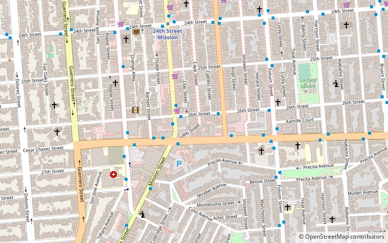
Map
Facts and practical information
Pioneer Race Course, also known as the Pioneer Race Track, was a horse race track opened in March 1851, in the southern Mission District of San Francisco, California. ()
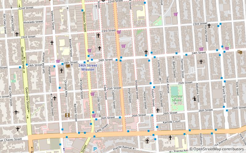
Coordinates: 37°45'5"N, 122°24'58"W
Day trips
Pioneer Race Course – popular in the area (distance from the attraction)
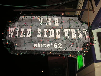
Nearby attractions include: Mission Workshop, Wild Side West, Mission Dolores Park, The Laundry SF.
Frequently Asked Questions (FAQ)
Which popular attractions are close to Pioneer Race Course?
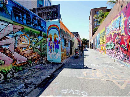
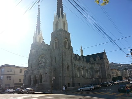
Nearby attractions include The Laundry SF, San Francisco (5 min walk), Trinity Presbyterian Church, San Francisco (5 min walk), Balmy Alley, San Francisco (6 min walk), San Francisco Public Library Mission Branch, San Francisco (6 min walk).
How to get to Pioneer Race Course by public transport?
The nearest stations to Pioneer Race Course:
Bus
Trolleybus
Metro
Light rail
Tram
Bus
- South Van Ness Avenue & 24th Street • Lines: 67 (2 min walk)
- 24th Street & South Van Ness Avenue • Lines: 48, 67 (2 min walk)
Trolleybus
- Mission Street & 24th Street • Lines: 14 (4 min walk)
Metro
- 24th Street Mission • Lines: Blue, Green, Red, Yellow (5 min walk)
- 16th Street Mission • Lines: Blue, Green, Red, Yellow (26 min walk)
Light rail
- Church Street & 24th Street • Lines: J (16 min walk)
Tram
- 17th Street & Castro Street • Lines: F (33 min walk)
- Market Street & Church Street • Lines: F (34 min walk)
 Muni Metro