Trek Zone

Fort Holabird, Baltimore
#340 among attractions in Baltimore

Forts and castles
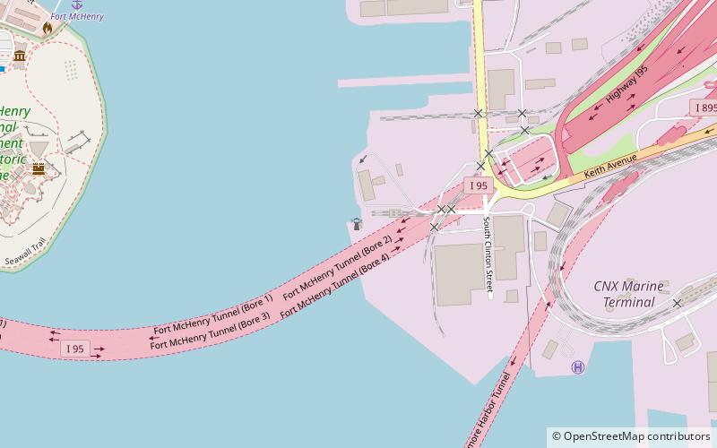
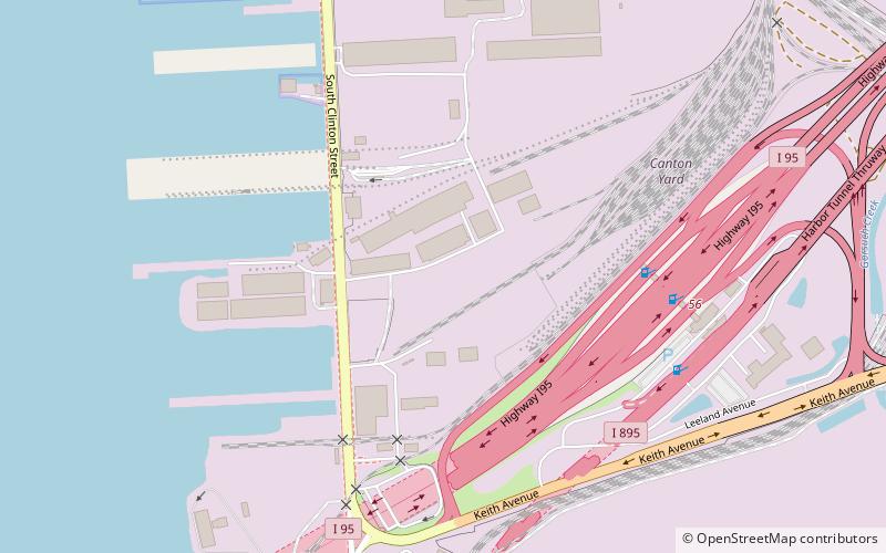
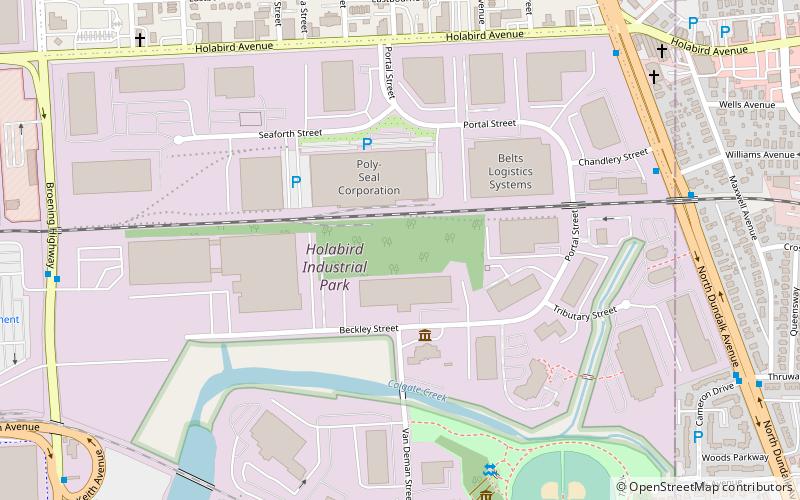
Fort Holabird location map
Map

Facts and practical information

Alternative names: Coordinates: 39°16'8"N, 76°32'9"W
Address

Southeastern BaltimoreBaltimore United States

ContactAdd
Social media
Add
Day trips

Fort Holabird – popular in the area (distance from the attraction)

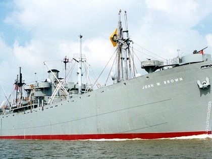
Nearby attractions include: Fort McHenry, Eastpoint Mall, Greektown, SS John W. Brown.

  • fort mchenry baltimore2.3 miW
  • eastpoint mall baltimore2.2 miNE
  • greektown baltimore1.5 miNW
  • ss john w brown baltimore1.8 miW
  • canton waterfront park baltimore2.1 miW
  • lazaretto point light baltimore location map
    2 miW
  • maritime industrial zoning overlay district baltimore location map
    1.7 miW
  • venice tavern baltimore location map
    2.1 miNW
  • odonnell square park baltimore2.2 miW
  • canton baltimore2.2 miNW
  • brewers hill baltimore location map
    1.9 miNW

Frequently Asked Questions (FAQ)

How to get to Fort Holabird by public transport?

The nearest stations to Fort Holabird:

Bus
  • Dundalk Marine Terminal • Lines: 65 (23 min walk)
  • Dundalk Avenue & Center Place Northbound Mid-block • Lines: 63 (27 min walk)

Where to next? Visit maryland Maryland region page or discover the top tourist attractions in United States.