Westgate Park, San Diego
Map
Facts and practical information
Westgate Park was a baseball stadium located in San Diego, California. The ballpark was home to the San Diego Padres of the Pacific Coast League from 1958 to 1967. ()
Coordinates: 32°46'9"N, 117°9'47"W
Getting there by public transportation
Public transportation stops near this location
- Bus
- Light rail
 Bus
Bus
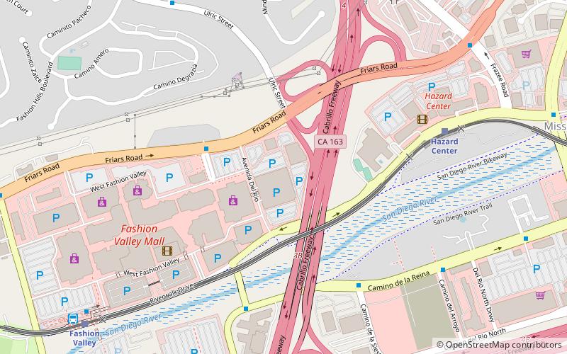
- Calculate routeHazard Center 8 min walk
- Calculate routeFashion Valley 12 min walk
- Calculate routeMission Valley Center 20 min walk
- Calculate routeFlixBus San Diego Mission Valley 26 min walk
- Calculate routeHillcrest Medical Center 27 min walk
Day trips


Frequently Asked Questions (FAQ)
How to get to Westgate Park by public transport?
The nearest stations to Westgate Park:
Light rail
Bus
Light rail
- Hazard Center • Lines: 530 (8 min walk)
- Fashion Valley • Lines: 530 (12 min walk)
Bus
- FlixBus San Diego Mission Valley • Lines: 2016, N2003 (26 min walk)
- Hillcrest Medical Center • Lines: H (27 min walk)