Linda Vista, San Diego
Map

Map

Facts and practical information
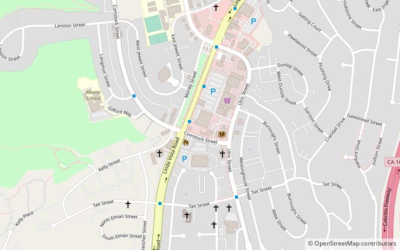
Linda Vista is a community in San Diego, California, United States. Located east of Mission Bay, north of Mission Valley, and south-east of Tecolote Canyon, it lies on a mesa overlooking Mission Valley to the south and Mission Bay and the Pacific Ocean to the west. It is also home to the University of San Diego. ()
Coordinates: 32°47'1"N, 117°10'16"W
Day trips
Linda Vista – popular in the area (distance from the attraction)
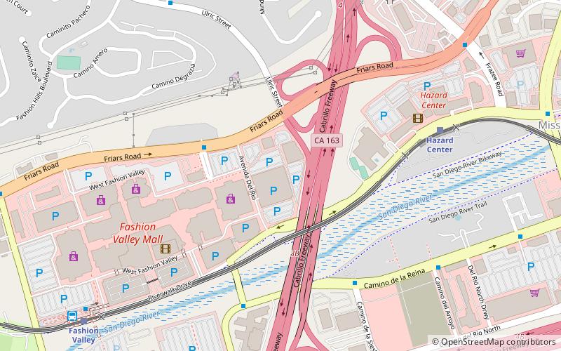
Nearby attractions include: Fashion Valley, University of San Diego, Tecolote Canyon Golf Course, Mission Valley.
Frequently Asked Questions (FAQ)
How to get to Linda Vista by public transport?
The nearest stations to Linda Vista:
Light rail
Bus
Light rail
- Hazard Center • Lines: 530 (31 min walk)
Bus
- Health Center Drive and Frost Street • Lines: 120 (37 min walk)


