Sawmill Pass, Kings Canyon National Park
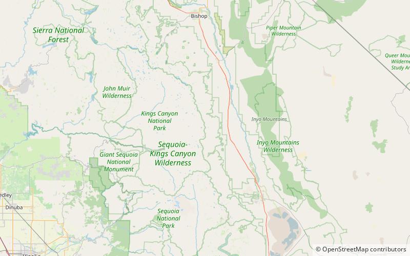
Map

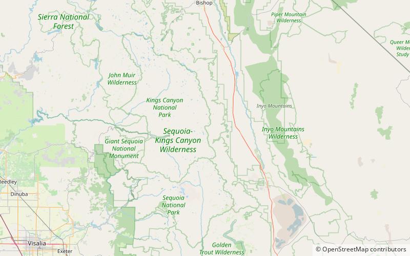
Map

Facts and practical information
Sawmill Pass, 11,309 ft, is a mountain pass in the southern Sierra Nevada, California on the border of the Inyo National Forest to the east and Kings Canyon National Park to the west. The eastern approach via the Sawmill Pass Trail is steep and strenuous, climbing 6,700 ft from the Owens Valley floor. To the west, it connects to the John Muir Trail/Pacific Crest Trail in the Sierra high country, along Woods Creek. ()
Maximum elevation: 11309 ftCoordinates: 36°52'59"N, 118°21'50"W
Address
Kings Canyon National Park
ContactAdd
Social media
Add
Day trips
Sawmill Pass – popular in the area (distance from the attraction)
Nearby attractions include: Rae Lakes, Crater Mountain, Fin Dome, Mount Wynne.


