7th Street Trafficway Bridge, Kansas City
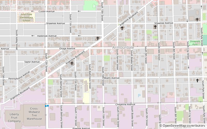
Map
Facts and practical information
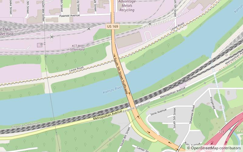
The 7th Street Trafficway Bridge is a one level deck truss bridge over the Kansas River and BNSF Railway tracks on 7th Street. It was built in 1932. It connects the Armourdale district of Kansas City, Kansas, to the east end of the Argentine district of Kansas City, Kansas. In 1970, the bridge was resurfaced, repainted, and a new sister bridge was built. The new sister bridge is a two lane girder bridge that would now carry southbound lanes, making the deck truss bridge into a northbound bridge only. ()
Opened: 1932 (94 years ago)Coordinates: 39°4'33"N, 94°37'30"W
Address
West Kansas City (Shawnee Heights)Kansas City
ContactAdd
Social media
Add
Getting there by public transportation
Public transportation stops near this location
- Bus
 Bus
Bus
- Calculate routeRainbow at Southwest Blvd. 22 min walk
- Calculate routeSouthwest Blvd. at 31st 26 min walk
- Calculate routeRoanoke at 31st 27 min walk
Day trips


Frequently Asked Questions (FAQ)
Which popular attractions are close to 7th Street Trafficway Bridge?
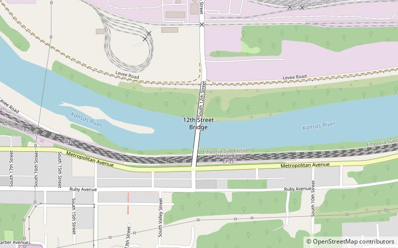
Nearby attractions include Shawnee Street Overpass, Kansas City (9 min walk), Sauer Castle, Kansas City (17 min walk), Armourdale, Kansas City (20 min walk), 12th Street Bridge, Kansas City (21 min walk).
How to get to 7th Street Trafficway Bridge by public transport?
The nearest stations to 7th Street Trafficway Bridge:
Bus
Bus
- Rainbow at Southwest Blvd. • Lines: 11 (22 min walk)
- Southwest Blvd. at 31st • Lines: 11, 23 (26 min walk)