Ballard Bridge, Seattle
Map
Gallery
Facts and practical information
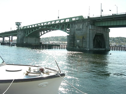
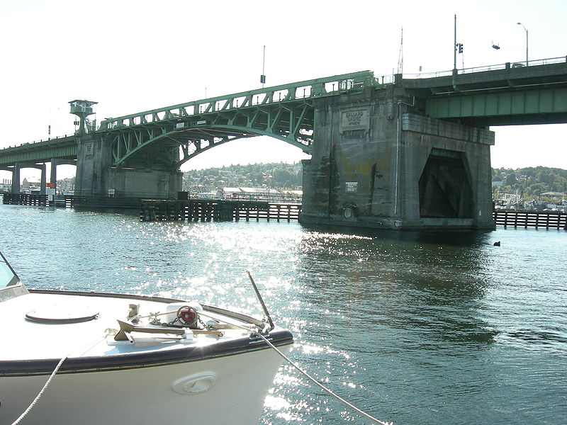
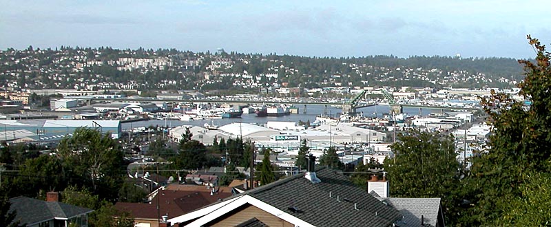
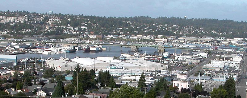
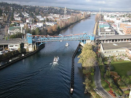
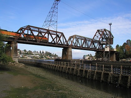
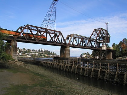
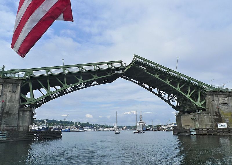
The Ballard Bridge, also known as the 15th Avenue Bridge, is a double-leaf bascule bridge in Seattle, Washington. It carries 15th Avenue NW over Seattle's Salmon Bay between Ballard to the north and Interbay to the south. The Ballard Bridge follows the Fremont Bridge in the east in the succession of bridges spanning the Lake Washington Ship Canal, which connects Lake Washington in the east to Puget Sound in the west. ()
Completed: 1917 (109 years ago)Length: 2854 ftCoordinates: 47°39'27"N, 122°22'34"W
Day trips
Ballard Bridge – popular in the area (distance from the attraction)
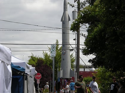
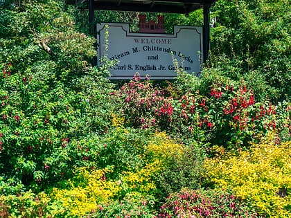
Nearby attractions include: Fishermen's Terminal, Woodland Park Zoo, Fremont Rocket, Carl S. English Jr. Botanical Gardens.
Frequently Asked Questions (FAQ)
Which popular attractions are close to Ballard Bridge?
Nearby attractions include Fishermen's Terminal, Seattle (5 min walk), The Nickerson Marina, Seattle (8 min walk), Salmon Bay Marina, Seattle (10 min walk), Mars Hill Church, Seattle (11 min walk).
How to get to Ballard Bridge by public transport?
The nearest stations to Ballard Bridge:
Bus
Bus
- W Nickerson St & W Emerson St • Lines: 29, 31 (6 min walk)
- W Nickerson St & 12th Ave W • Lines: 29, 31, 32 (7 min walk)
