Berkeley Pier, Berkeley
Map
Gallery
Facts and practical information
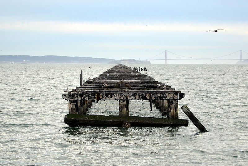
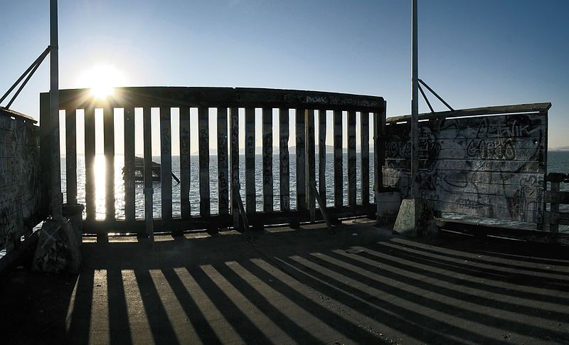
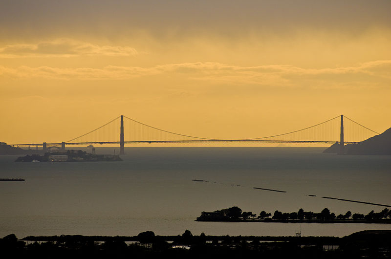
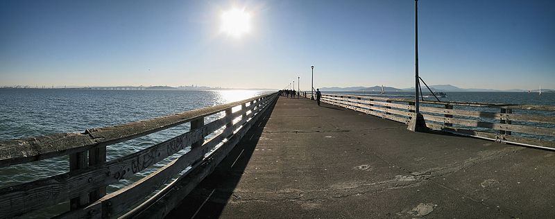
The Berkeley Pier is in Berkeley, California. When constructed in 1926, the pier extended 3.5 miles into San Francisco Bay from the end of University Avenue. Due to extensive filling of the bay and the creation of the Berkeley Marina, it presently extends only 2.5 miles. Since 1937, only the first 3,000 feet were maintained and open to the public until July 2015, when public access was closed due to safety concerns. ()
Coordinates: 37°51'46"N, 122°19'5"W
Day trips
Berkeley Pier – popular in the area (distance from the attraction)
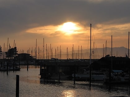
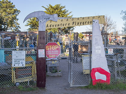
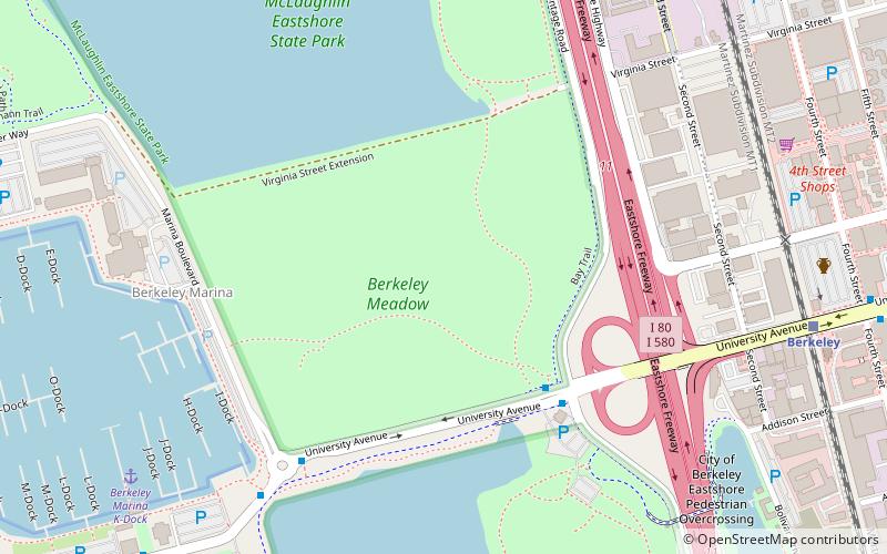
Nearby attractions include: 924 Gilman, Berkeley Marina, Adventure Playground, César Chávez Park.
Frequently Asked Questions (FAQ)
Which popular attractions are close to Berkeley Pier?
Nearby attractions include Adventure Playground, Berkeley (5 min walk), Cal Sailing Club, Berkeley (6 min walk), Berkeley Marina, Berkeley (12 min walk), McLaughlin Eastshore State Park, Berkeley (17 min walk).
How to get to Berkeley Pier by public transport?
The nearest stations to Berkeley Pier:
Bus
Train
Bus
- Seawall Drive & University Avenue • Lines: 51B (1 min walk)
- Berkeley Marina • Lines: 51B (7 min walk)
Train
- Berkeley (26 min walk)


