West Berkeley, Berkeley

Gallery (1)
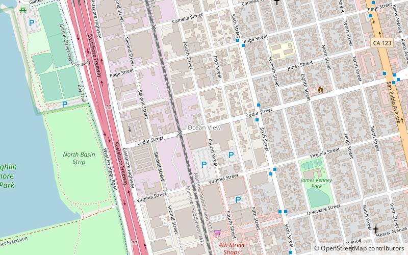
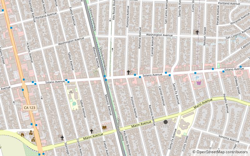
Map
Map
Facts and practical information
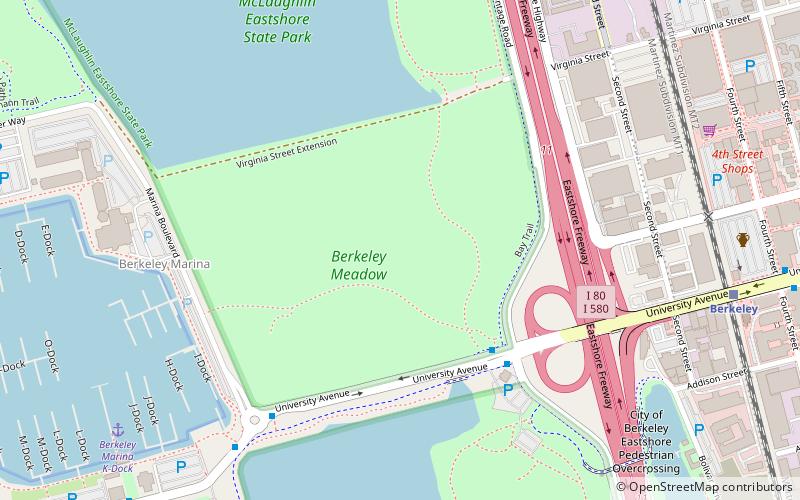
West Berkeley is generally the area of Berkeley, California, that lies west of San Pablo Avenue, abutting San Francisco Bay. It includes the area that was once the unincorporated town of Ocean View, as well as the filled-in areas along the shoreline west of I-80, mainly including the Berkeley Marina. It lies at an elevation of 23 feet. ()
Coordinates: 37°52'25"N, 122°18'7"W
Address
Berkeley (West Berkeley)Berkeley
ContactAdd
Social media
Add
Getting there by public transportation
Public transportation stops near this location
- Metro
- Bus
- Train
 Metro
Metro
- Calculate route6th Street & Cedar Street 4 min walk
- Calculate routeBerkeley 12 min walk
- Calculate routeNorth Berkeley 26 min walk
Day trips


Frequently Asked Questions (FAQ)
Which popular attractions are close to West Berkeley?
Nearby attractions include Schoolhouse Creek, Berkeley (8 min walk), Good Shepherd Church, Berkeley (12 min walk), McLaughlin Eastshore State Park, Berkeley (13 min walk), Berkeley I-80 bridge, Berkeley (17 min walk).
How to get to West Berkeley by public transport?
The nearest stations to West Berkeley:
Bus
Train
Metro
Bus
- 6th Street & Cedar Street • Lines: 80 (4 min walk)
Train
- Berkeley (12 min walk)
Metro
- North Berkeley • Lines: Orange, Red (26 min walk)