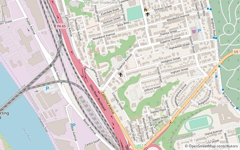
Brighton Heights, Pittsburgh
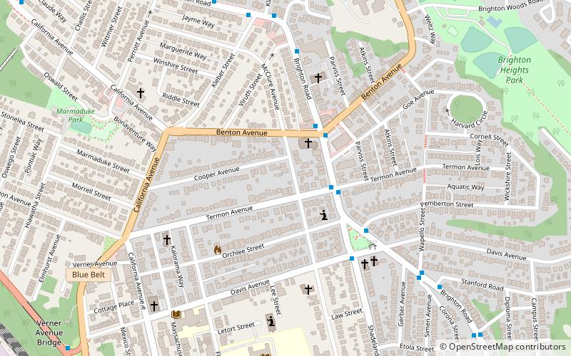
Map
Facts and practical information
Brighton Heights is a neighborhood in Pittsburgh, Pennsylvania's northside area. It has a zip code of 15212, and has representation on Pittsburgh City Council by the council member for District 1. The Western gateway to the neighborhood, Brighton Heights Boulevard, is opposite the McKees Rocks Bridge and accessible via Route 65/Ohio River Boulevard. The Pittsburgh Bureau of Fire houses 35 Engine and 33 Truck in Brighton Heights. ()
Area: 1.12 mi²Coordinates: 40°28'60"N, 80°2'13"W
Address
North Side (Brighton Heights)Pittsburgh
ContactAdd
Social media
Add
Getting there by public transportation
Public transportation stops near this location
- Bus
 Bus
Bus
- Calculate routeOhio River Blvd opp. McKees Rocks Bridge 12 min walk
Day trips


Frequently Asked Questions (FAQ)
Which popular attractions are close to Brighton Heights?
Nearby attractions include Allegheny Observatory, Pittsburgh (22 min walk), McKees Rocks Bridge, Pittsburgh (22 min walk), Riverview Park, Pittsburgh (23 min walk), Marshall-Shadeland, Pittsburgh (24 min walk).
How to get to Brighton Heights by public transport?
The nearest stations to Brighton Heights:
Bus
Bus
- Ohio River Blvd opp. McKees Rocks Bridge • Lines: 1 (12 min walk)