Bowker Overpass, Boston
Map
Gallery
Facts and practical information
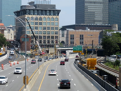
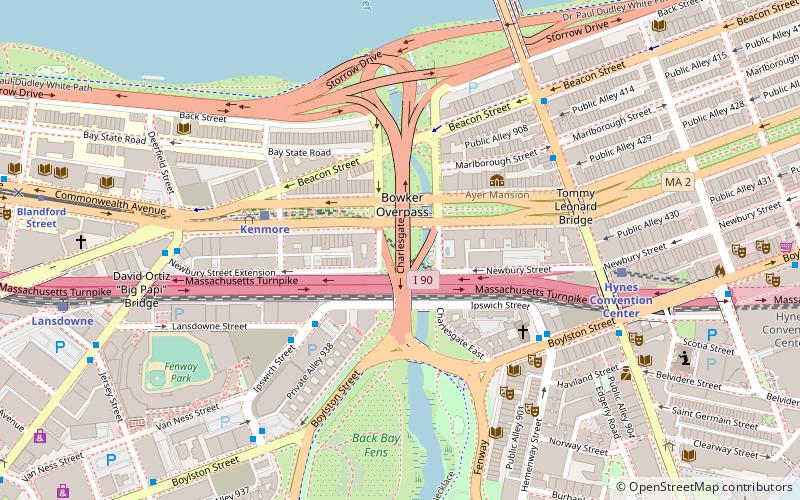
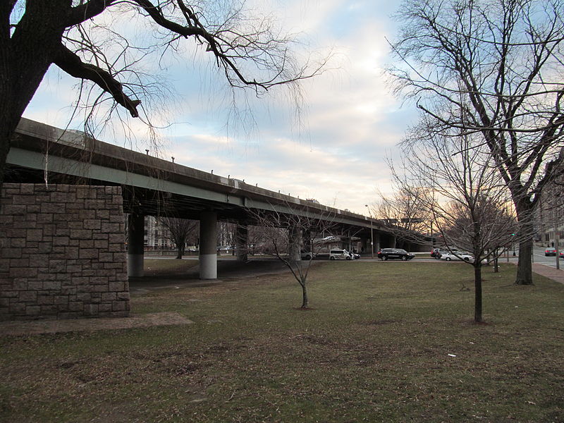
Philip G. Bowker Overpass is a steel beam bridge with a suspended deck carrying The Charlesgate over Commonwealth Avenue, Beacon Street, and Interstate 90. It connects Boylston Street to Storrow Drive. It runs parallel to the Muddy River. In 2011, there was talk about tearing down the bridge and widening local streets as some consider the bridge to be an eyesore, as well as the fact that it bisects a portion of the Emerald Necklace. ()
Opened: 1965 (61 years ago)Length: 1056 ftCoordinates: 42°20'54"N, 71°5'33"W
Address
Fenway - Kenmore - Audubon Circle - LongwoodBoston
ContactAdd
Social media
Add
Day trips
Bowker Overpass – popular in the area (distance from the attraction)
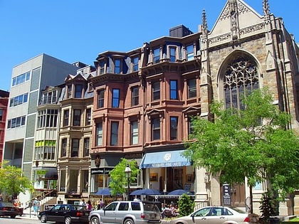
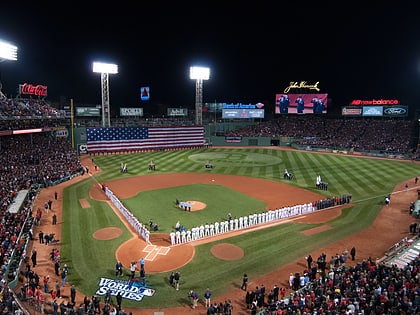
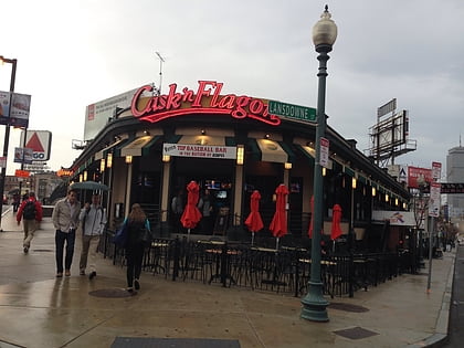
Nearby attractions include: Newbury Street, Fenway Park, Cask 'n Flagon, Newbury Comics.
Frequently Asked Questions (FAQ)
Which popular attractions are close to Bowker Overpass?
Nearby attractions include Statue of Leif Erikson, Boston (2 min walk), Fenway Studios, Boston (3 min walk), Saint Clement Eucharistic Shrine, Boston (5 min walk), Kenmore Square, Boston (5 min walk).
How to get to Bowker Overpass by public transport?
The nearest stations to Bowker Overpass:
Bus
Light rail
Train
Metro
Bus
- Ipswich St @ Lansdowne St • Lines: 55 (4 min walk)
- Kenmore Station Busway • Lines: 57 (5 min walk)
Light rail
- Kenmore • Lines: B, C, D (4 min walk)
- Hynes Convention Center • Lines: B, C, D (7 min walk)
Train
- Lansdowne (10 min walk)
- Ruggles (22 min walk)
Metro
- Massachusetts Avenue • Lines: Orange (18 min walk)
- Ruggles • Lines: Orange (22 min walk)

 MBTA Subway