Brownsville & Matamoros International Bridge, Brownsville

Gallery (2)
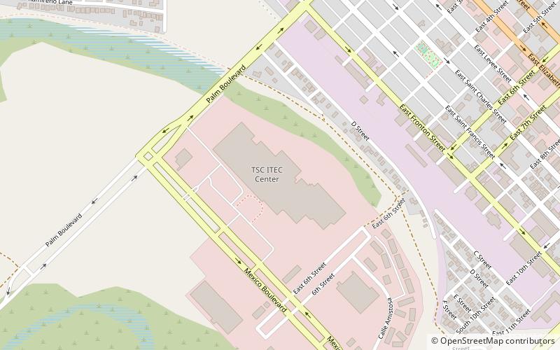
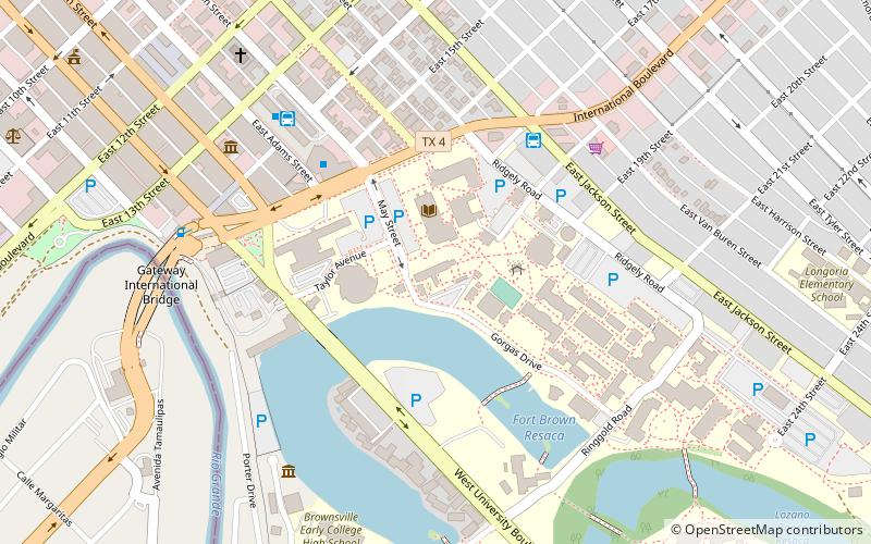
Map
Map
Gallery
Facts and practical information
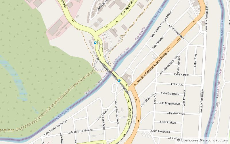
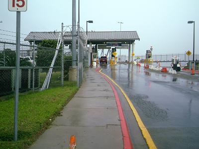
The Brownsville & Matamoros International Bridge, also known as B&M International Bridge, Brownsville-Matamoros International Bridge and Express Bridge, is one of three international bridges that cross the U.S.-Mexico border between the cities of Brownsville, Texas, and Matamoros, Tamaulipas. This international bridge unites the Matamoros–Brownsville Metropolitan Area, which counts with a population of 1,136,995, making it the 4th largest metropolitan area in the Mexico-US border. ()
Coordinates: 25°53'31"N, 97°30'16"W
Address
Brownsville
ContactAdd
Social media
Add
Getting there by public transportation
Public transportation stops near this location
- Bus
 Bus
Bus
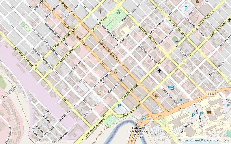
- Calculate routeBrownsville Bus Terminal 23 min walk
- Calculate routeAutobuses Adame Tours 28 min walk
Day trips


Frequently Asked Questions (FAQ)
Which popular attractions are close to Brownsville & Matamoros International Bridge?
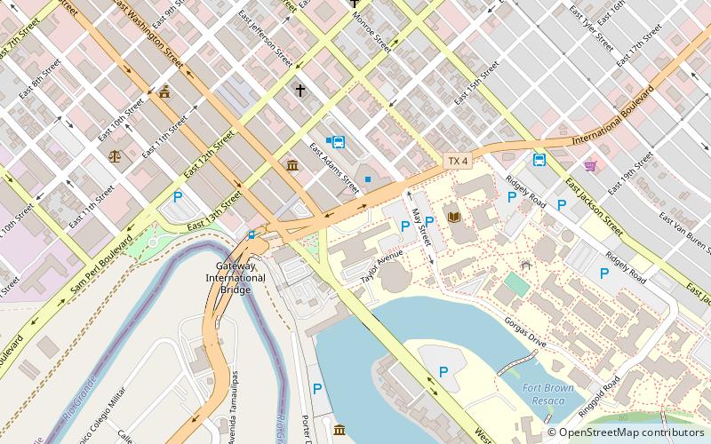
Nearby attractions include Gateway International Bridge, Brownsville (17 min walk), United States Court House, Brownsville (21 min walk), Fort Brown, Brownsville (21 min walk), Texas Southmost College, Brownsville (23 min walk).
How to get to Brownsville & Matamoros International Bridge by public transport?
The nearest stations to Brownsville & Matamoros International Bridge:
Bus
Bus
- Brownsville Bus Terminal (23 min walk)
- Autobuses Adame Tours (28 min walk)