Amigoland Mall, Brownsville
Map
Facts and practical information
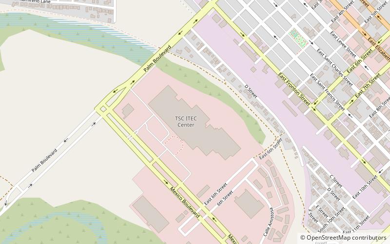
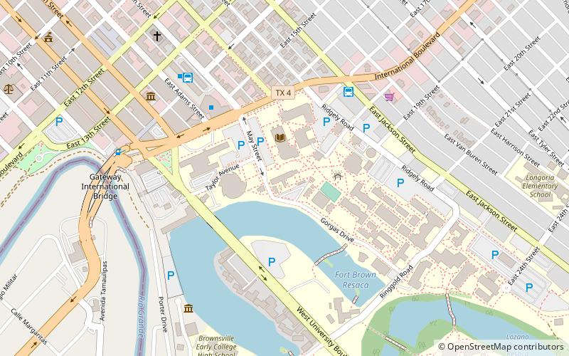
Amigoland Mall was an enclosed shopping mall located in Brownsville, Texas. The former mall, which now houses a tech center, is now called the Brownsville ITEC Center. ()
Coordinates: 25°54'8"N, 97°30'37"W
Address
Brownsville
ContactAdd
Social media
Add
Getting there by public transportation
Public transportation stops near this location
- Bus
 Bus
Bus
- Calculate routeBrownsville Bus Terminal 25 min walk
Day trips


Frequently Asked Questions (FAQ)
Which popular attractions are close to Amigoland Mall?
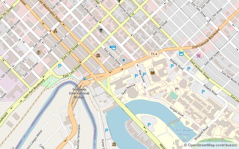
Nearby attractions include First Presbyterian Church, Brownsville (14 min walk), United States Court House, Brownsville (18 min walk), St. Thomas Church, Brownsville (18 min walk), Brownsville & Matamoros International Bridge, Brownsville (21 min walk).
How to get to Amigoland Mall by public transport?
The nearest stations to Amigoland Mall:
Bus
Bus
- Brownsville Bus Terminal (25 min walk)