Newark Schools Stadium, Newark
Map
Facts and practical information
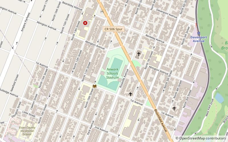
Newark Schools Stadium is the name of two stadiums that were both located on Bloomfield Avenue between Abingdon and Roseville Avenues in the Roseville section of Newark, New Jersey. ()
Opened: 1925 (101 years ago)Capacity: 15 thous.Coordinates: 40°46'12"N, 74°11'4"W
Getting there by public transportation
Public transportation stops near this location
- Light rail
- Train
 Light rail
- Calculate routeDavenport Avenue 10 min walk
- Calculate routeBloomfield Avenue 10 min walk
- Calculate routeSilver Lake 20 min walk
- Calculate routeGrove Street 20 min walk
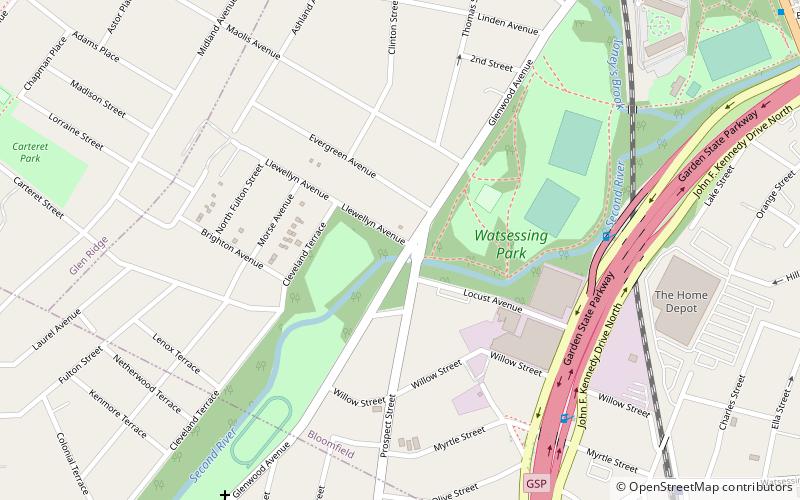
- Calculate routeWatsessing Avenue 30 min walk
Day trips


Frequently Asked Questions (FAQ)
How to get to Newark Schools Stadium by public transport?
The nearest stations to Newark Schools Stadium:
Light rail
Train
Light rail
- Davenport Avenue • Lines: Nlr (10 min walk)
- Bloomfield Avenue • Lines: Nlr (10 min walk)
Train
- Watsessing Avenue (30 min walk)