Chaska Bridge, Chaska
Map
Facts and practical information
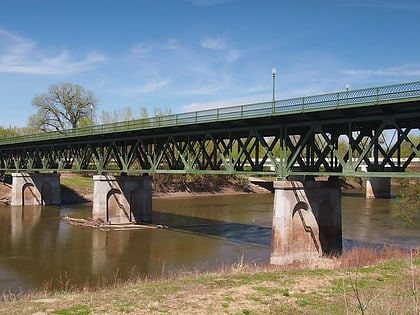
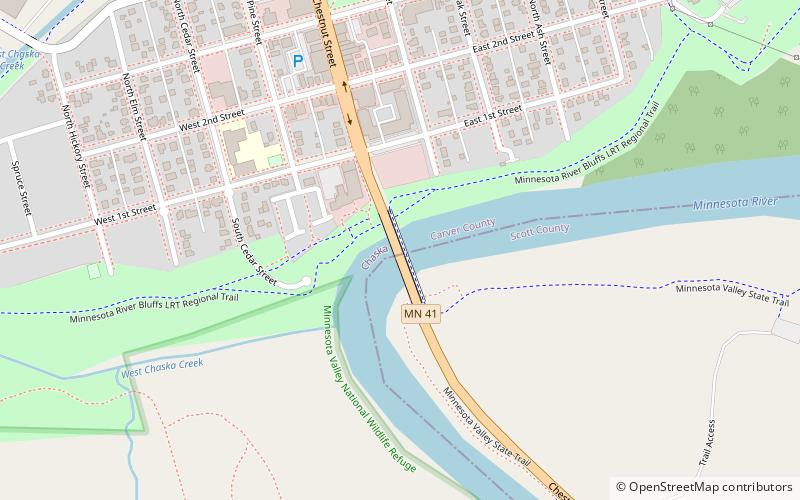
The Chaska Bridge is a 4-lane vehicular bridge crossing the Minnesota River on the south side of downtown Chaska, carrying Minnesota State Highway 41. It is 508 feet long, and 76.3 feet wide. ()
Opened: 2006 (20 years ago)Length: 508 ftWidth: 76 ftCoordinates: 44°46'58"N, 93°35'57"W
Address
Chaska
ContactAdd
Social media
Add
Day trips
Chaska Bridge – popular in the area (distance from the attraction)
Nearby attractions include: Minnesota Landscape Arboretum, Halla Green Executive Golf Course, Paisley Park, Shakopee Bridge.

