Gillespie Avenue, Pontiac
Map

Map

Facts and practical information
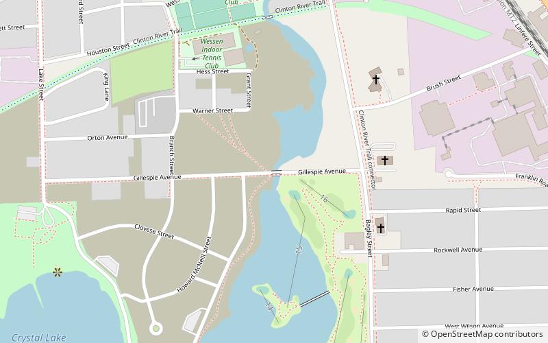
The Gillespie Street-Clinton River Bridge is a bridge carrying Gillespie Street over the Clinton River in Pontiac, Michigan. It is a relatively early example of a rigid-frame bridge in Michigan. The bridge was listed on the National Register of Historic Places in 2000. ()
Built: 1936 (90 years ago)Coordinates: 42°37'34"N, 83°17'52"W
Address
PontiacPontiac
ContactAdd
Social media
Add
Day trips
Gillespie Avenue – popular in the area (distance from the attraction)
Nearby attractions include: The Crofoot, Eagle Theater, Erebus Haunted Attraction, St. Vincent de Paul Church.
Frequently Asked Questions (FAQ)
Which popular attractions are close to Gillespie Avenue?
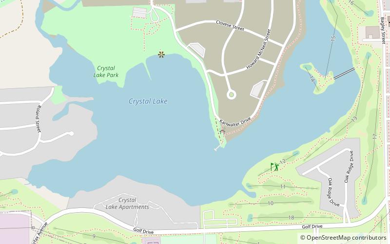
Nearby attractions include Crystal Lake, Pontiac (11 min walk), Franklin Boulevard Historic District, Pontiac (17 min walk), St. Vincent de Paul Church, Pontiac (18 min walk), Grinnell Brothers Music House, Pontiac (20 min walk).
How to get to Gillespie Avenue by public transport?
The nearest stations to Gillespie Avenue:
Bus
Train
Bus
- Woodward / Wesson • Lines: 450 (13 min walk)
Train
- Pontiac (14 min walk)


