Fort Richardson, Arlington
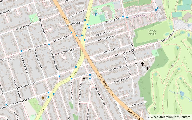
Map
Facts and practical information
Fort Richardson was a detached redoubt that the Union Army constructed in September 1861 as part of the Civil War defenses of Washington. The Army built the fort shortly after its rout at the First Battle of Bull Run in late July 1861. The Army named the fort after General Israel B. Richardson, whose division had been deployed to defend the City of Washington against attack by way of the Columbia Turnpike. ()
Coordinates: 38°51'16"N, 77°5'14"W
Address
South Arlington (Nauck)Arlington
ContactAdd
Social media
Add
Day trips
Fort Richardson – popular in the area (distance from the attraction)
Nearby attractions include: The Village at Shirlington, United States Air Force Memorial, Cinema 'N' Drafthouse, Arlington Memorial Amphitheater.
Frequently Asked Questions (FAQ)
Which popular attractions are close to Fort Richardson?
Nearby attractions include Our Lady Queen of Peace Catholic Church, Arlington (6 min walk), Walter Reed Gardens Historic District, Arlington (7 min walk), Nauck, Arlington (10 min walk), Hunter's Crossroads, Arlington (13 min walk).
How to get to Fort Richardson by public transport?
The nearest stations to Fort Richardson:
Bus
Bus
- Kenmore St & 19th St S • Lines: 23A, 23B, 23T (3 min walk)
- Walter Reed Drive at 18th St S • Lines: 77 (3 min walk)

