Whitestone, New York City
Map
Gallery
Facts and practical information
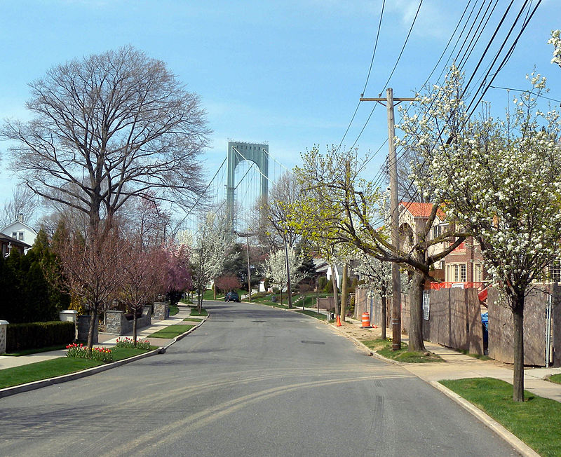
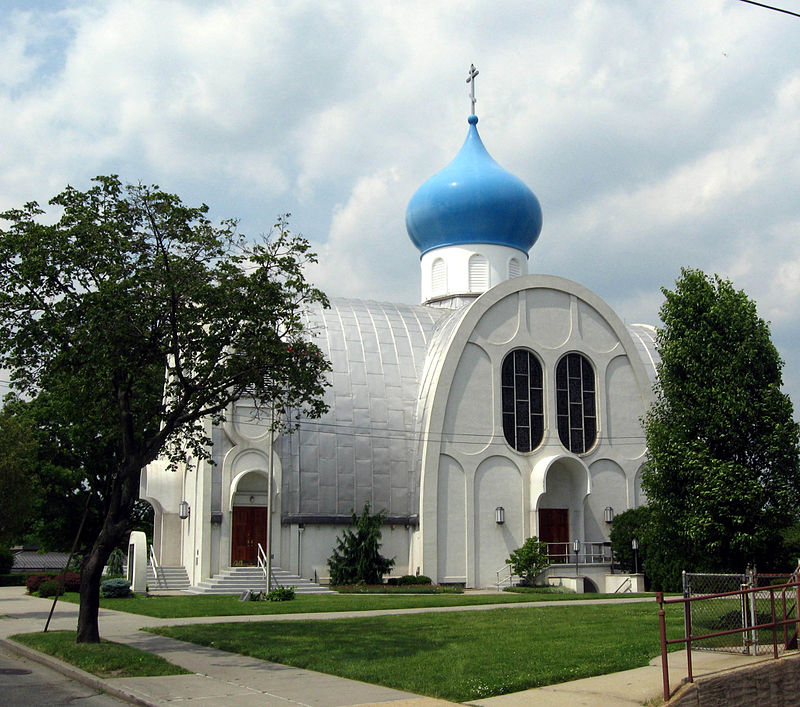
Whitestone is a residential neighborhood in the northernmost part of the New York City borough of Queens. The neighborhood proper is located between the East River to the north; College Point and Whitestone Expressway to the west; Flushing and 25th Avenue to the south; and Bayside and Francis Lewis Boulevard to the east. ()
Day trips
Whitestone – popular in the area (distance from the attraction)
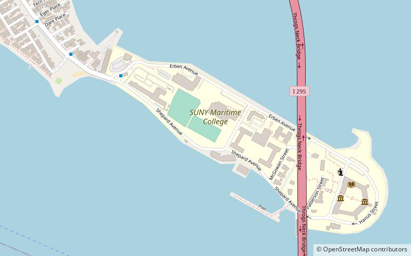
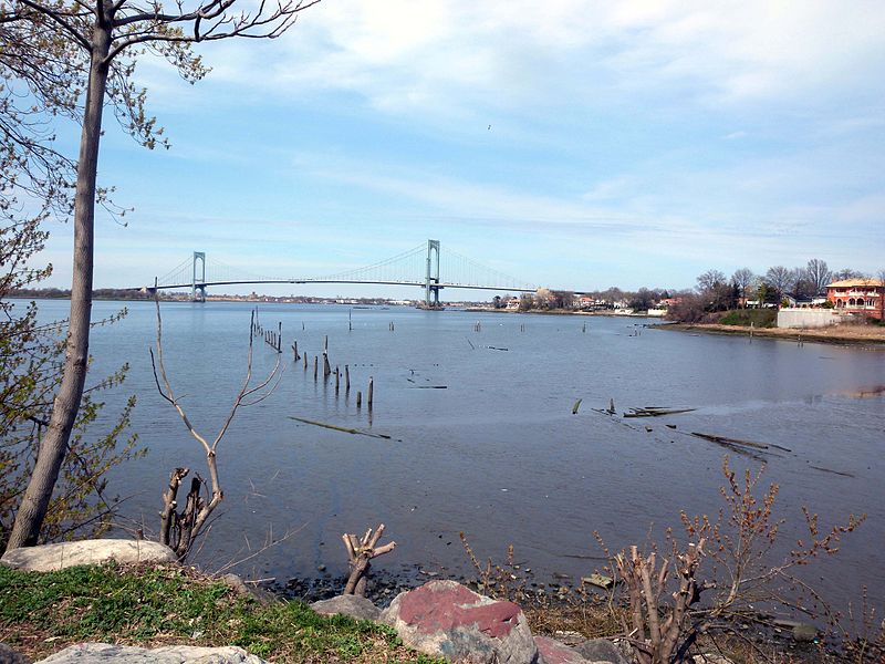
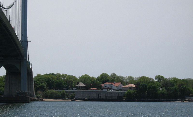
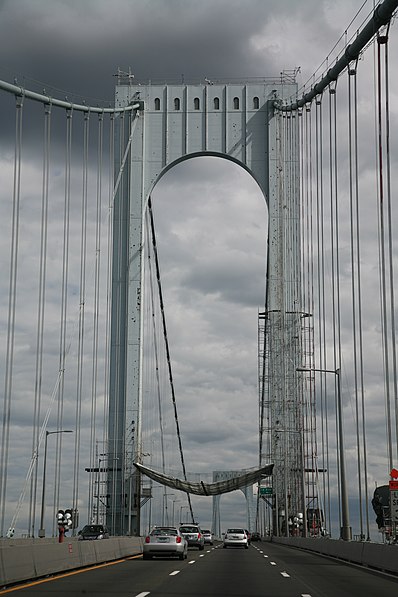
Nearby attractions include: Bronx–Whitestone Bridge, Throgs Neck Bridge, Fort Schuyler, Throgs Neck Light.
Frequently Asked Questions (FAQ)
How to get to Whitestone by public transport?
The nearest stations to Whitestone:
Bus
Bus
- 154th Street & 11th Avenue • Lines: Q15 (3 min walk)
- 150th Street & 14th Avenue • Lines: Q15A (9 min walk)




 Subway
 Manhattan Buses


