Throgs Neck Light, New York City

Gallery (1)
Map
Map
Facts and practical information
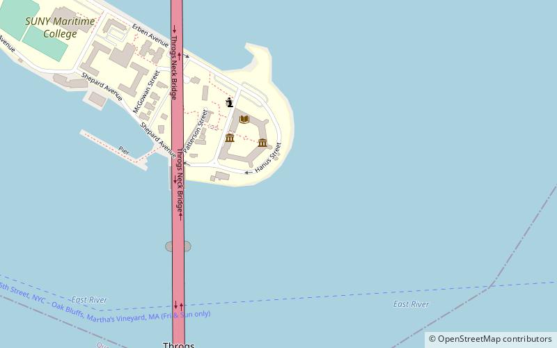
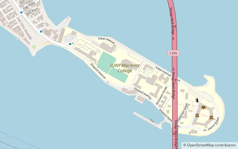
Throgs Neck Lighthouse in the Bronx, New York, United States was a wooden lighthouse that was replaced by an iron skeletal tower that is still there. The lighthouse protects ships in the Long Island Sound from running up against the rocks. ()
Coordinates: 40°48'16"N, 73°47'26"W
Address
New York City
ContactAdd
Social media
Add
Getting there by public transportation
Public transportation stops near this location
- Bus
 Bus
Bus
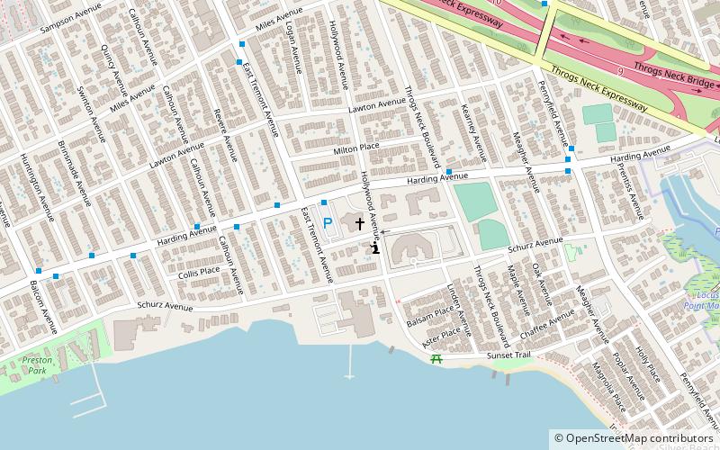
- Calculate routeSUNY Maritime Circle & Shepard Avenue 17 min walk
- Calculate routePowells Cove Boulevard & 160th Street 23 min walk
- Calculate routeBell Boulevard & Estates Lane 28 min walk
- Calculate routeCross Island Parkway & 208th Place 29 min walk
Maps SubwayMaps
 Manhattan Buses
SubwayMapsManhattan BusesDay trips


Frequently Asked Questions (FAQ)
Which popular attractions are close to Throgs Neck Light?
Nearby attractions include Fort Schuyler, New York City (2 min walk), Throgs Neck Bridge, New York City (10 min walk).
How to get to Throgs Neck Light by public transport?
The nearest stations to Throgs Neck Light:
Bus
Bus
- SUNY Maritime Circle & Shepard Avenue • Lines: Bx40 (17 min walk)
- Powells Cove Boulevard & 160th Street • Lines: Q15A (23 min walk)