Throgs Neck Bridge, New York City
Map
Gallery
Facts and practical information
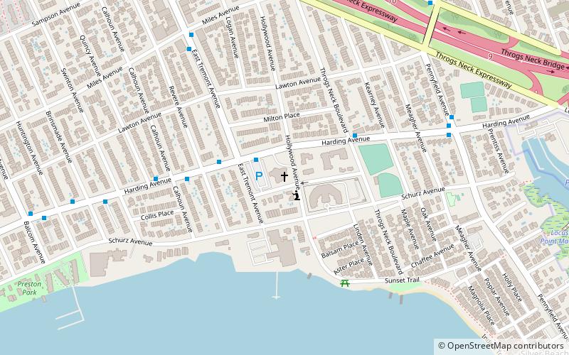
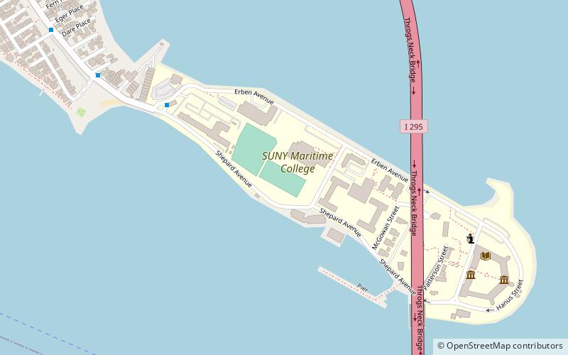
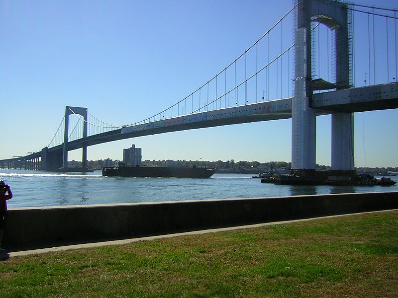
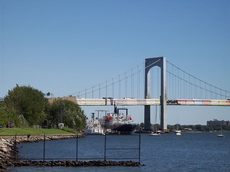
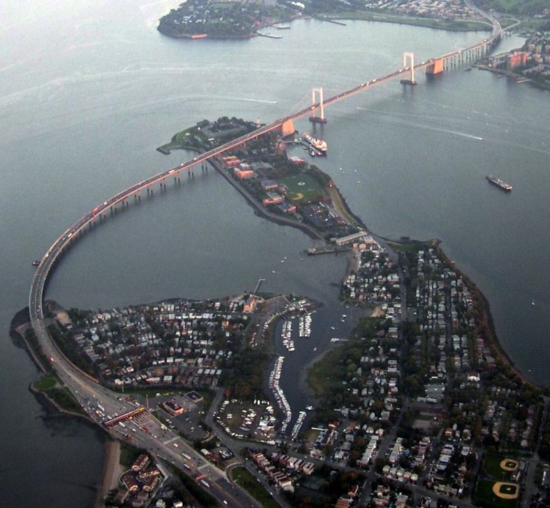
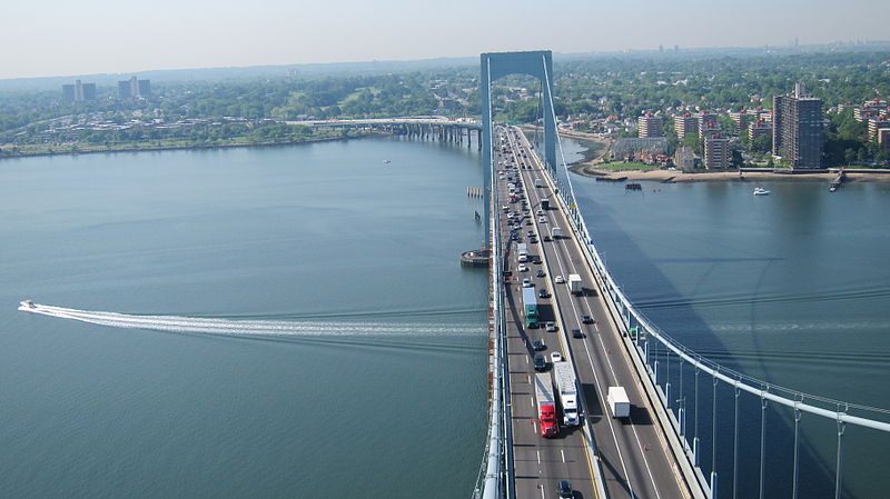
The Throgs Neck Bridge is a suspension bridge in New York City, carrying six lanes of Interstate 295 over the East River where it meets the Long Island Sound. The bridge connects the Throggs Neck section of the Bronx with the Bay Terrace section of Queens. ()
Address
New York City
ContactAdd
Social media
Add
Day trips
Throgs Neck Bridge – popular in the area (distance from the attraction)
Nearby attractions include: Fort Totten, St. Frances de Chantal's Church, Fort Schuyler, Throgs Neck Light.
Frequently Asked Questions (FAQ)
Which popular attractions are close to Throgs Neck Bridge?
Nearby attractions include Fort Schuyler, New York City (9 min walk), Throgs Neck Light, New York City (10 min walk).
How to get to Throgs Neck Bridge by public transport?
The nearest stations to Throgs Neck Bridge:
Bus
Bus
- SUNY Maritime Circle & Shepard Avenue • Lines: Bx40 (9 min walk)
- Powells Cove Boulevard & 160th Street • Lines: Q15A (28 min walk)



 Subway
 Manhattan Buses
