Reinhart Field, New York City
Map
Facts and practical information
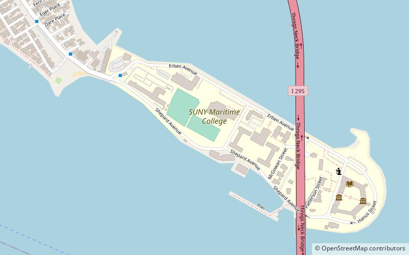
The Reinhart Field is a 1,500 seat, expandable to 3,500 seat, multipurpose facility in Bronx, New York within the campus of SUNY Maritime College. Named after SUNY Maritime Athletic Director, Professor Roger Reinhart, the stadium is home to the Maritime College Privateers soccer, football, and lacrosse teams. In 2012 it also served the Monroe Mustangs of Monroe College as their home field. ()
Capacity: 1500Coordinates: 40°48'27"N, 73°47'52"W
Address
East Bronx (Throgs Neck)New York City
ContactAdd
Social media
Add
Getting there by public transportation
Public transportation stops near this location
- Bus
 Bus
Bus
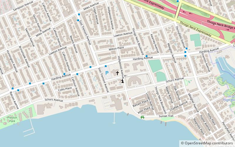
- Calculate routeSUNY Maritime Circle & Shepard Avenue 6 min walk
- Calculate routePowells Cove Boulevard & 160th Street 24 min walk
- Calculate route154th Street & 11th Avenue 30 min walk
Maps SubwayMaps
 Manhattan Buses
SubwayMapsManhattan BusesDay trips


Frequently Asked Questions (FAQ)
Which popular attractions are close to Reinhart Field?
Nearby attractions include Throgs Neck Bridge, New York City (5 min walk), Fort Schuyler, New York City (10 min walk), Throgs Neck Light, New York City (11 min walk).
How to get to Reinhart Field by public transport?
The nearest stations to Reinhart Field:
Bus
Bus
- SUNY Maritime Circle & Shepard Avenue • Lines: Bx40 (6 min walk)
- Powells Cove Boulevard & 160th Street • Lines: Q15A (24 min walk)