Hanover Street Bridge, Baltimore
Map
Gallery
Facts and practical information
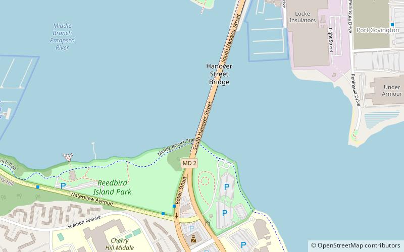
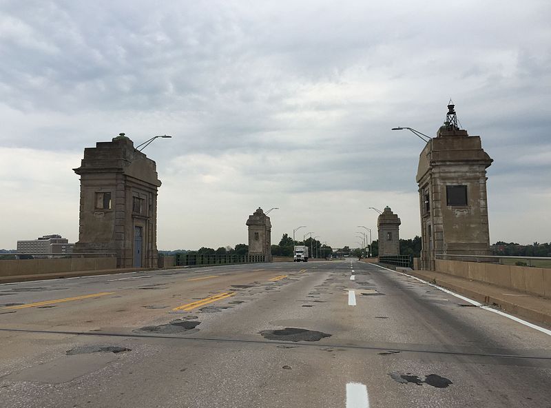
The Hanover Street Bridge – officially, the Vietnam Veterans Memorial Bridge – is a bascule bridge crossing the middle branch of the Patapsco River along Hanover Street in Baltimore, Maryland. ()
Opened: 1916 (110 years ago)Length: 2290 ftCoordinates: 39°15'24"N, 76°37'0"W
Address
Baltimore
ContactAdd
Social media
Add
Day trips
Hanover Street Bridge – popular in the area (distance from the attraction)
Nearby attractions include: Baltimore Museum of Industry, Riverside Park, Christ United Church of Christ, Mount Auburn Cemetery.
Frequently Asked Questions (FAQ)
Which popular attractions are close to Hanover Street Bridge?
Nearby attractions include Port Covington, Baltimore (15 min walk), Cherry Hill, Baltimore (20 min walk).
How to get to Hanover Street Bridge by public transport?
The nearest stations to Hanover Street Bridge:
Light rail
Bus
Light rail
- Westport • Lines: Lr (23 min walk)
- Cherry Hill • Lines: Lr (25 min walk)
Bus
- Fort Avenue • Lines: Banner, Purple (34 min walk)
- Greyhound Baltimore Downtown Bus Station (30 min walk)


