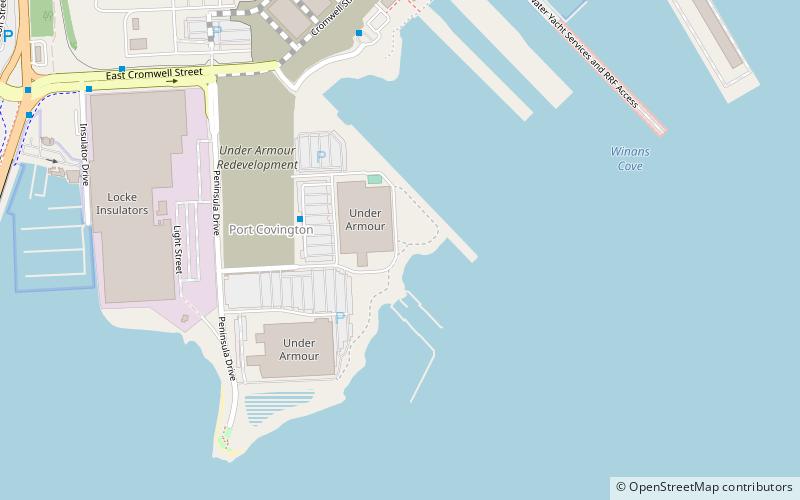
Port Covington, Baltimore
Map
Facts and practical information
Port Covington is a neighborhood in Baltimore, Maryland. Previously, Port Covington was a railroad terminal built by the Western Maryland Railway in 1904 on the Middle Branch of the Patapsco River. The terminal facilities included coal, grain and merchandise piers, overhead cranes, 11 rail yards, warehouses, a roundhouse, a turntable and a machine shop. In the 1920s rotary dumpers for coal and coke were installed, as well as a large grain elevator. Port operations ended in the 1970s and the site was abandoned in 1988. ()
Coordinates: 39°15'34"N, 76°36'24"W
Address
Southern BaltimoreBaltimore
ContactAdd
Social media
Add
Getting there by public transportation
Public transportation stops near this location
- Bus
 Bus
Bus
- Calculate routeWhetstone Way 23 min walk
- Calculate routeFort Avenue 23 min walk
- Calculate routeWoodall Street 23 min walk
- Calculate routeLawrence Street 23 min walk
Day trips


Frequently Asked Questions (FAQ)
Which popular attractions are close to Port Covington?
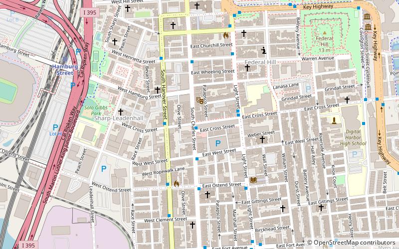
Nearby attractions include Hanover Street Bridge, Baltimore (15 min walk), Riverside Park, Baltimore (20 min walk), South Baltimore, Baltimore (22 min walk).
How to get to Port Covington by public transport?
The nearest stations to Port Covington:
Bus
Bus
- Whetstone Way • Lines: Banner (23 min walk)
- Fort Avenue • Lines: Banner (23 min walk)