Highland Bridge, Denver
Map

Gallery

Facts and practical information
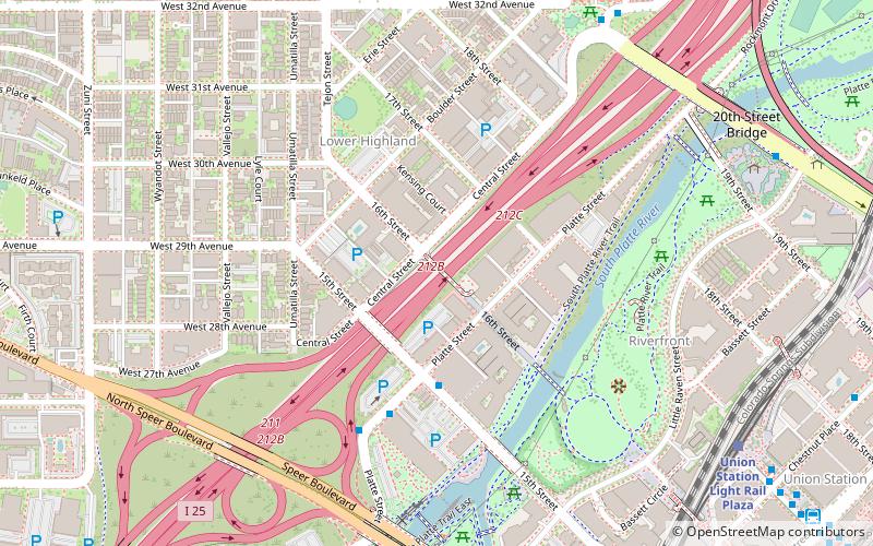
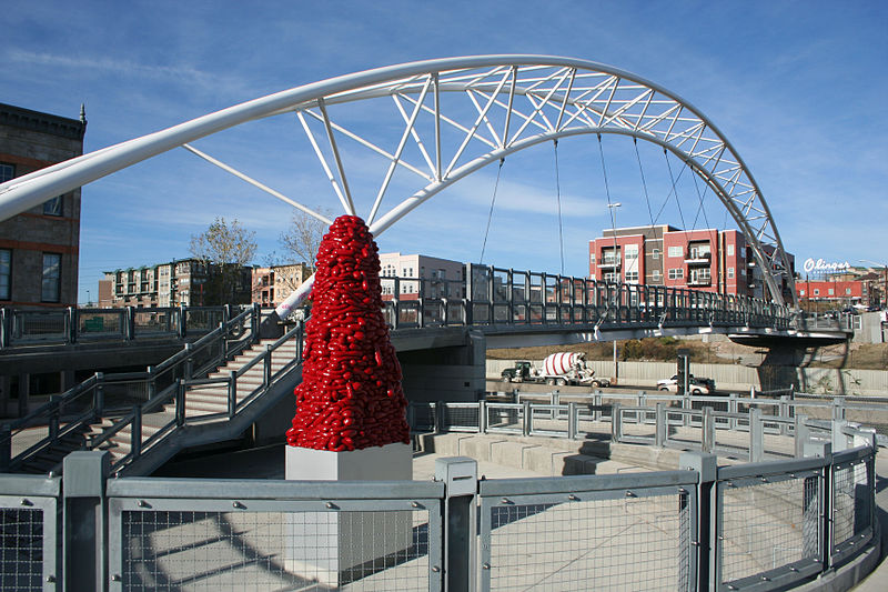
The Highland Bridge is the third of three pedestrian bridges to connect Downtown Denver with the Highland neighborhood. The bridge crosses the Valley Highway between Platte Street and Central Street as an extension of the 16th Street Mall. ()
Length: 325 ftCoordinates: 39°45'29"N, 105°0'32"W
Address
Highland BridgeNorthwest Denver (Highland)Denver
ContactAdd
Social media
Add
Day trips
Highland Bridge – popular in the area (distance from the attraction)
Nearby attractions include: Elitch Gardens, Coors Field, Ball Arena, Children's Museum of Denver.
Frequently Asked Questions (FAQ)
Which popular attractions are close to Highland Bridge?
Nearby attractions include Platte River Bridge, Denver (4 min walk), Platte Valley Trolley, Denver (7 min walk), Confluence Park, Denver (8 min walk), 19th Street Bridge, Denver (8 min walk).
How to get to Highland Bridge by public transport?
The nearest stations to Highland Bridge:
Bus
Light rail
Train
Bus
- Osage Street & 20th Street • Lines: 19 (9 min walk)
- Union Station Light Rail Plaza • Lines: Mall (10 min walk)
Light rail
- Union Station • Lines: C, E, W (10 min walk)
- Ball Arena / Elitch Gardens • Lines: C, E, W (17 min walk)
Train
- Union Station (14 min walk)
- 41st & Fox (32 min walk)


