Huckleberry Botanic Regional Preserve, Oakland
Map

Gallery

Facts and practical information
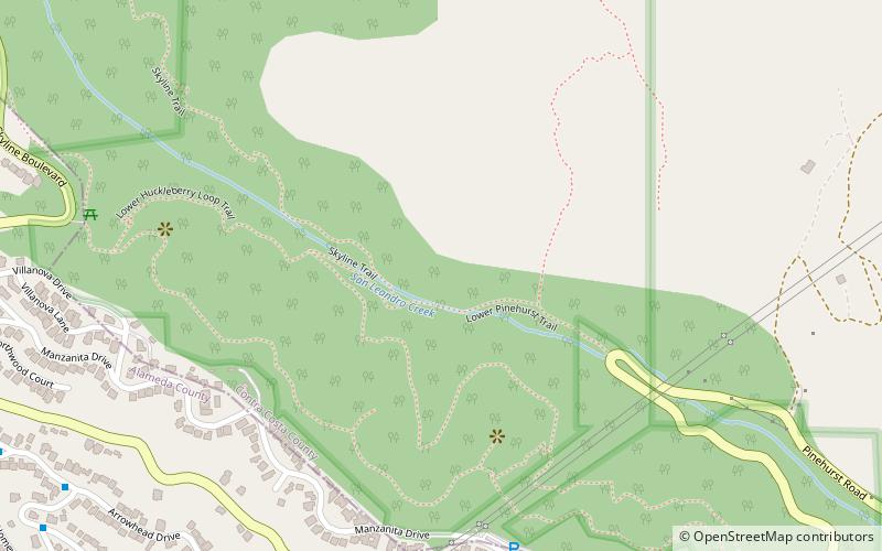
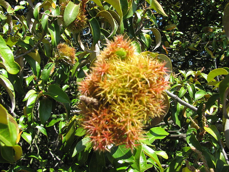
Huckleberry Botanic Regional Preserve is a 241 acres regional park and nature reserve in the Oakland Hills, in the eastern East Bay region of the San Francisco Bay Area of California. It is within Alameda and Contra Costa Counties. It is a park within the East Bay Regional Parks District system. The Preserve is named after the California Huckleberry which grows abundantly within its habitat. ()
Area: 0.38 mi²Elevation: 932 ft a.s.l.Coordinates: 37°50'31"N, 122°11'17"W
Day trips
Huckleberry Botanic Regional Preserve – popular in the area (distance from the attraction)
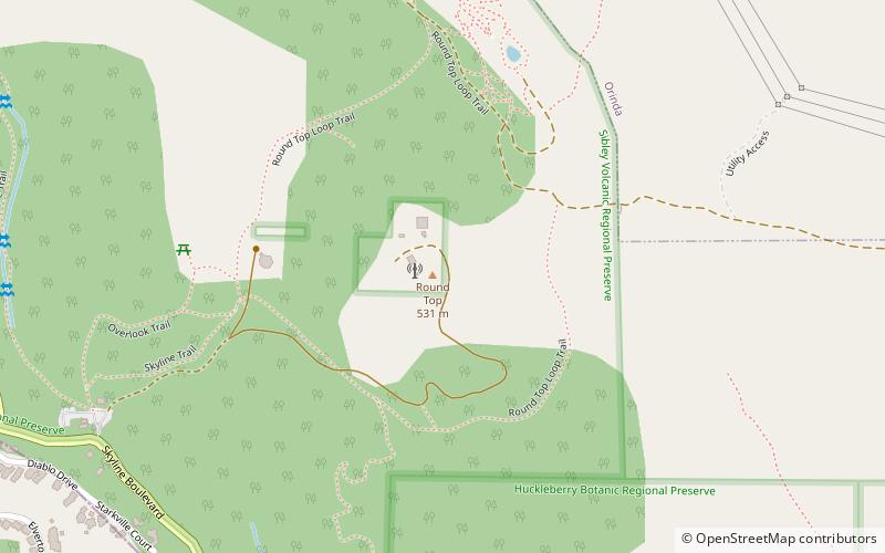
Nearby attractions include: Robert Sibley Volcanic Regional Preserve, Round Top, Oakland Hills, Blair Park.
Frequently Asked Questions (FAQ)
Which popular attractions are close to Huckleberry Botanic Regional Preserve?
Nearby attractions include Round Top, Oakland (16 min walk), Oakland Hills, Oakland (20 min walk).
How to get to Huckleberry Botanic Regional Preserve by public transport?
The nearest stations to Huckleberry Botanic Regional Preserve:
Bus
Bus
- Mountain Boulevard & Moraga Avenue • Lines: 33 (42 min walk)


