Blair Park, Oakland
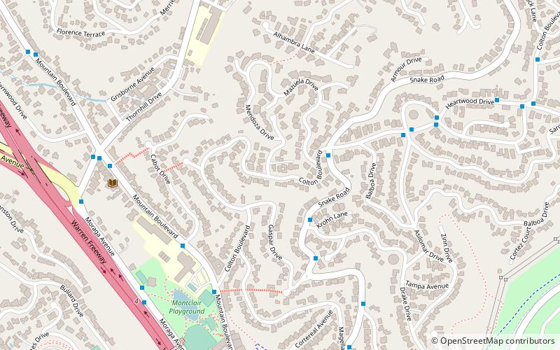
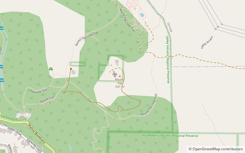
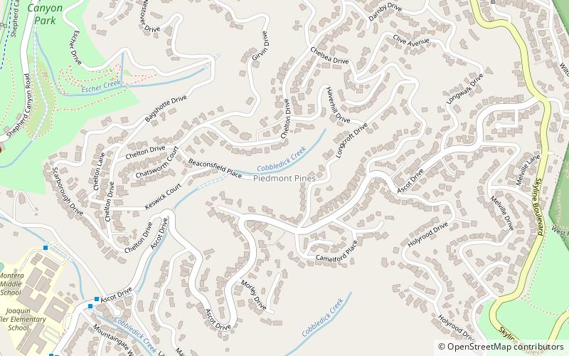
Map

Map

Facts and practical information
Blair Park is a small park in the city of Piedmont, California located in the Oakland Hills near the head of Moraga Canyon. ()
Elevation: 866 ft a.s.l.Coordinates: 37°49'56"N, 122°12'32"W
Address
North Hills (Montclair)Oakland
ContactAdd
Social media
Add
Day trips
Blair Park – popular in the area (distance from the attraction)
Nearby attractions include: Huckleberry Botanic Regional Preserve, Temescal Regional Recreational Area, Round Top, Oakland Hills.
Frequently Asked Questions (FAQ)
How to get to Blair Park by public transport?
The nearest stations to Blair Park:
Bus
Bus
- Moraga Avenue & La Salle Avenue • Lines: 33 (11 min walk)
- Mountain Boulevard & Snake Road • Lines: 33 (14 min walk)


