Robert Sibley Volcanic Regional Preserve, Oakland
Map

Gallery

Facts and practical information
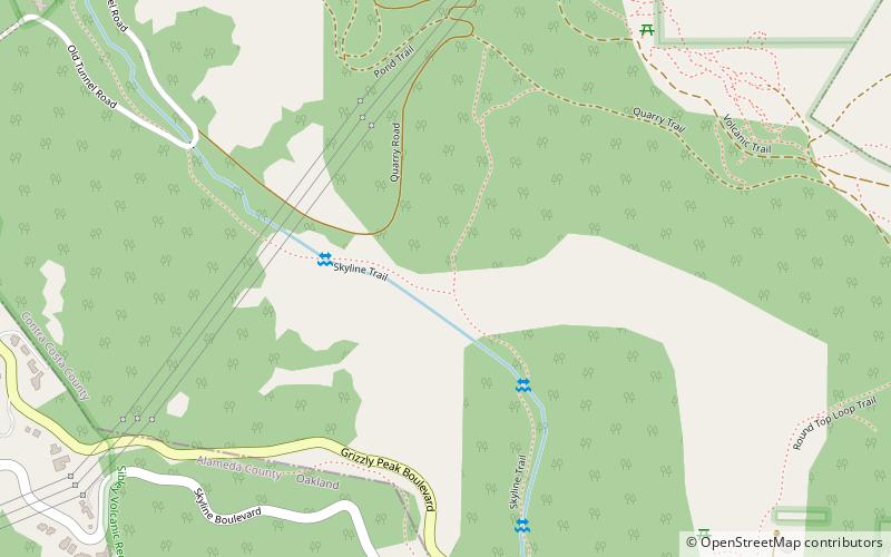
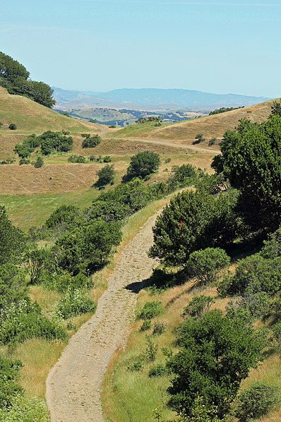
Robert Sibley Volcanic Regional Preserve is located in the Oakland Hills of the East Bay region of the San Francisco Bay Area, California. The park is part of the East Bay Regional Parks District, covers 928 acres, and lies east of Oakland, partly in Alameda County and partly in Contra Costa County. It can be entered from Oakland via Skyline Boulevard, or from Contra Costa County via Old Tunnel Road. ()
Created: 1936Elevation: 1066 ft a.s.l.Coordinates: 37°51'15"N, 122°12'7"W
Address
Oakland
ContactAdd
Social media
Add
Day trips
Robert Sibley Volcanic Regional Preserve – popular in the area (distance from the attraction)
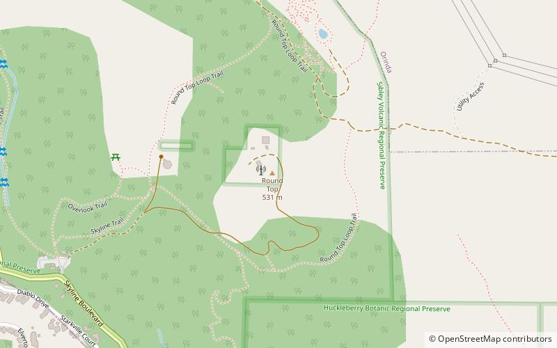
Nearby attractions include: Huckleberry Botanic Regional Preserve, Round Top, Oakland Hills, Caldecott Tunnel.
Frequently Asked Questions (FAQ)
Which popular attractions are close to Robert Sibley Volcanic Regional Preserve?
Nearby attractions include Round Top, Oakland (16 min walk), Caldecott Tunnel, Oakland (21 min walk).


