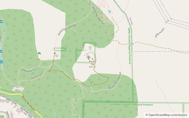
Round Top, Oakland

Map
Facts and practical information
Round Top is an extinct volcano in the Berkeley Hills, just east of Oakland, California. The peak lies entirely within the bounds of Contra Costa County. In 1936, the area surrounding the peak was established as Round Top Regional Park, one of the first three parks of the East Bay Regional Parks District. The park was renamed Sibley Volcanic Regional Preserve for the second president of the park district, Robert Sibley, shortly after his death in 1958. ()
Elevation: 1764 ftCoordinates: 37°50'60"N, 122°11'31"W
Address
Oakland
ContactAdd
Social media
Add
Day trips
Round Top – popular in the area (distance from the attraction)
Nearby attractions include: Robert Sibley Volcanic Regional Preserve, Huckleberry Botanic Regional Preserve, Oakland Hills, Blair Park.
Frequently Asked Questions (FAQ)
Which popular attractions are close to Round Top?
Nearby attractions include Huckleberry Botanic Regional Preserve, Oakland (16 min walk), Robert Sibley Volcanic Regional Preserve, Oakland (16 min walk).
How to get to Round Top by public transport?
The nearest stations to Round Top:
Bus
Bus
- Moraga Way & McDonnell Nursery • Lines: 6 (37 min walk)


