South Bay Interchange, Boston
Map
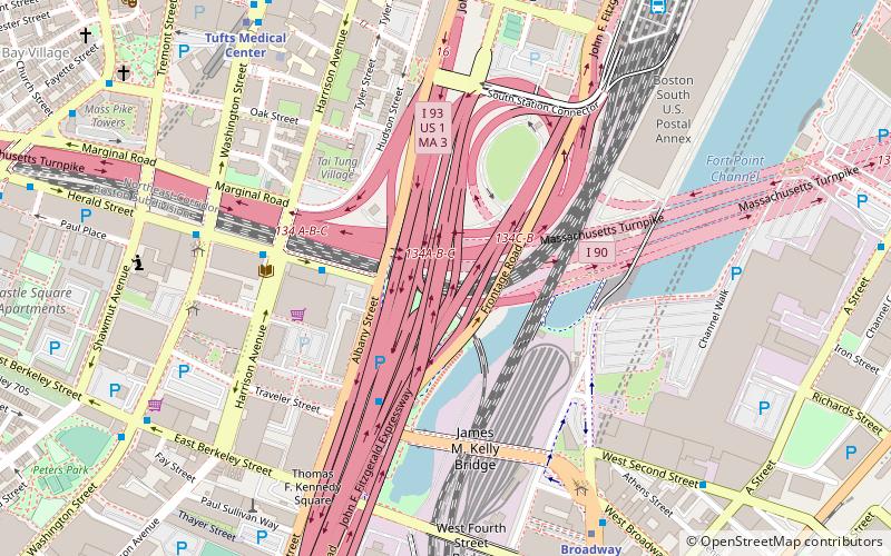
Map

Facts and practical information
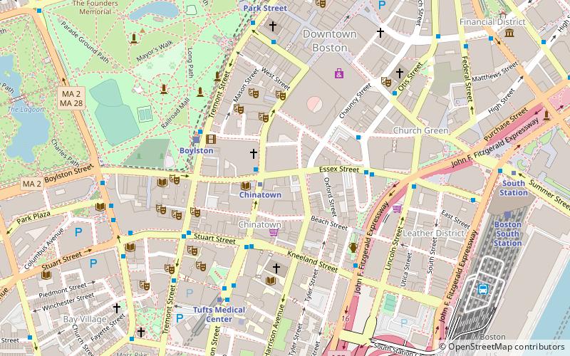
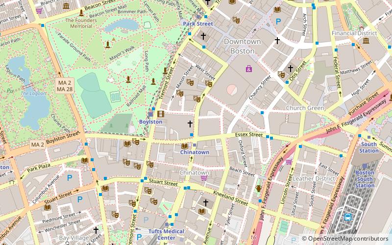
The South Bay Interchange is a massive interchange in downtown Boston, Massachusetts, in the US. The interchange consists of Interstate 90, the Mass Pike Extension, and the Interstate 93 concurrency with US 1 and MA 3 south of the Thomas P. O'Neill Jr. Tunnel. ()
Opened: 2003 (23 years ago)Coordinates: 42°20'46"N, 71°3'36"W
Address
Downtown BostonBoston
ContactAdd
Social media
Add
Day trips
South Bay Interchange – popular in the area (distance from the attraction)
Nearby attractions include: South Bay Harbor Trail, Wilbur Theatre, Cutler Majestic Theatre, Charles Playhouse.
Frequently Asked Questions (FAQ)
Which popular attractions are close to South Bay Interchange?
Nearby attractions include Dewey Square Tunnel, Boston (6 min walk), Friedman School of Nutrition Science and Policy, Boston (7 min walk), SoWa, Boston (9 min walk), Leather District, Boston (9 min walk).
How to get to South Bay Interchange by public transport?
The nearest stations to South Bay Interchange:
Bus
Metro
Train
Light rail
Bus
- FlixBus Boston • Lines: 2610, N2610 (4 min walk)
- Herald St @ Washington St • Lines: 9 (7 min walk)
Metro
- Broadway • Lines: Red (8 min walk)
- Tufts Medical Center • Lines: Orange (8 min walk)
Train
- Boston South Station (12 min walk)
- Boston Back Bay (20 min walk)
Light rail
- Boylston • Lines: B, C, D, E (15 min walk)
- Arlington • Lines: B, C, D, E (18 min walk)

 MBTA Subway