High Bridge, Spokane
Map
Facts and practical information
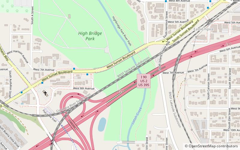
High Bridge, a railroad bridge over Latah Creek in Spokane, Washington, was constructed in 1972 by the Burlington Northern Railroad, following that railroad's creation in 1970 through the merger of the Chicago, Burlington & Quincy, Great Northern, Northern Pacific, and Spokane, Portland & Seattle railways. The bridge links the former Northern Pacific mainline with the former Great Northern and Spokane, Portland & Seattle lines to the west. The Latah Creek railroad bridge and two bridges carrying Interstate 90 and Sunset Highway cross High Bridge Park. ()
Coordinates: 47°38'56"N, 117°26'53"W
Address
South Side (Latah Valley)Spokane
ContactAdd
Social media
Add
Getting there by public transportation
Public transportation stops near this location
- Bus
 Bus
Bus
- Calculate routeSpruce @ 2nd 10 min walk
- Calculate route2nd @ Spruce 10 min walk
- Calculate routeCannon @ 4th 11 min walk
- Calculate routeRiverside @ A St 13 min walk
Day trips


Frequently Asked Questions (FAQ)
Which popular attractions are close to High Bridge?
Nearby attractions include Washington Grain Commission, Spokane (5 min walk), High Bridge Park, Spokane (11 min walk), Northwest Museum of Arts and Culture, Spokane (15 min walk), Wentel Grant Park Ultimate Frisbee, Spokane (19 min walk).
How to get to High Bridge by public transport?
The nearest stations to High Bridge:
Bus
Bus
- Spruce @ 2nd • Lines: Cl (10 min walk)
- 2nd @ Spruce • Lines: Cl (10 min walk)